5 days after leaving San Antonio our landfall awaited us. My days at sea had been full of social functions, dinners and, as port days and sea-days are much the same, (to me at least), the general management of the “Amsterdam” in coordination with Heads of Department.
The Pacific weather had been unusual, a large southerly swell had been predominant throughout the 2,000 miles, (3,200 kms) and latterly, another, an easterly swell had appeared. Winds, initially strong, had eased to the predominant south-easter’s, giving us a nice push along. The nearer the 16th, (our Easter Island date) approached, the number of questions from guests, as to whether we would make it, rose exponentially. Having called at the Island on 4 previous occasions, I knew that only time would tell and my answers were carefully chosen, I knew that whatever I said would would soon be common knowledge throughout the ship, nothing is secret on here for long. 🙄
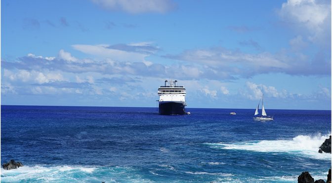
I intended to be at the south-west side of the island by 6 a.m. in the morning. Sunrise in this part of the world was not until 8 a.m. however we needed time to assess the situation; the swell in particular, it can be quite large. So it was, as we rounded the southern tip of the island, the only visible landmarks being a few lights on the shore and the lights of 2 other ships, each one occupying the only 2 anchorage positions. Chilean Immigration procedures would not start until daybreak, so we had time to ease ourselves into a position north of Hanga Roa Harbour and south of the anchored ships. The charts for the island are virtually non-existent, or should I say, of no assistance, as they are of a very small scale and lack the detail that we need for such precise navigation. Previous experience definitely helped and we carefully watched the echo-sounder, (which gives depth of water under the keel) as we eased in as close to the shore as was safe. (The nearer the shore, the less the swell). We were going to have to ‘drift’ for the day.
While we waited for daybreak, we lowered a tender and opened our tender platform, this was the only true method of judging whether we could tender safely. Having done so, it was apparent that, although we were going to have to be extremely careful in the marginal conditions, we could probably disembark guests. A large southerly swell negated using our starboard platform, while another, from the north was apparent and would cause ‘movement’ on the port platform but made it the only option.
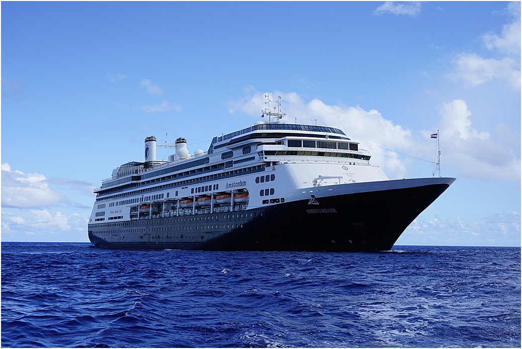
Daybreak and a small boat came out from the harbour, laden with officials and, 50 minutes later, we were cleared. The wonderful officers and crew came to the fore, ‘helpers’ on the platform and in the tender, the Hotel Director, Henk, overseeing every guest’s boarding, ensuring that each guest was capable of doing so. Tour by tour were embarked and then after issuing tender ‘tickets’ those not on tour were dispatched. All the while, the Bridge officers were holding position using our ‘Joystick’, making minor adjustments, if necessary to keep the movement to a ‘minimum’.
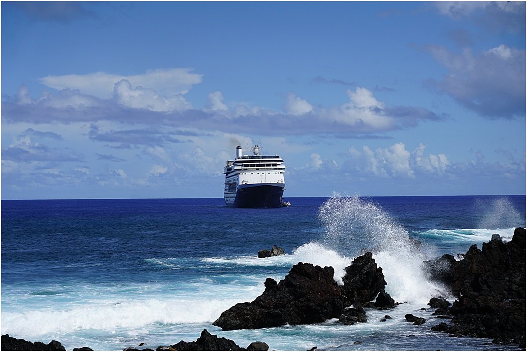
From shore, the “Amsterdam” drifting. A tender alongside.
 My day was spent on board, except for a brief foray to the harbour, for my last photos of Easter Island and some for our ‘port files’. K1 however ventured further afield, she had already been to the National Park, (entry fee $85) so, with some fellow companions they traveled in a van to other sights. Here are hers.

Tongariki. Although not originally like this, I believe Japanese archaeologists assembled this group.

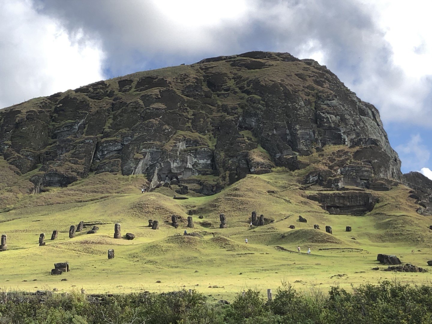
Rana Raroku, with numerous Moai, only their heads visible. to the right centre is part of the quarry.
 And now, some of mine.

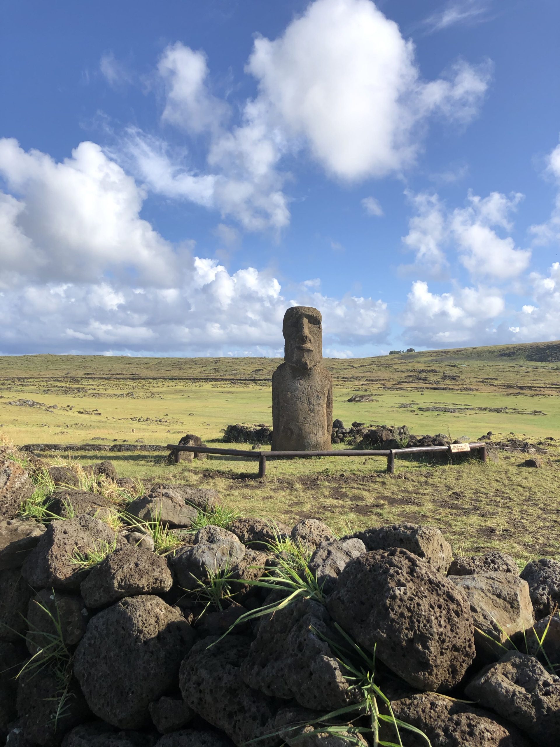
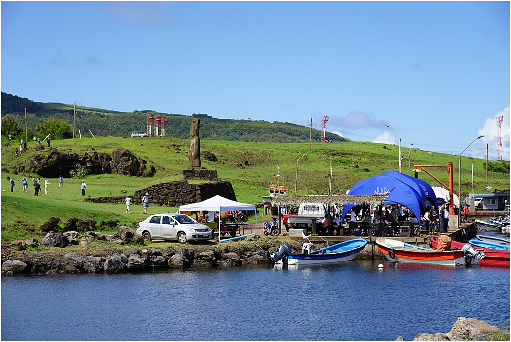
Ahu Riata. Close to the harbour, (I suspect this was placed here for ship’s visitors)
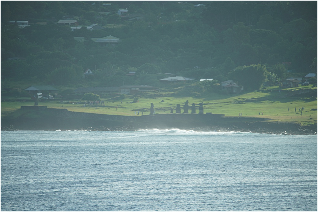
Tahai, taken with a telephoto lens, from the ship

The harbour of Hanga Roa
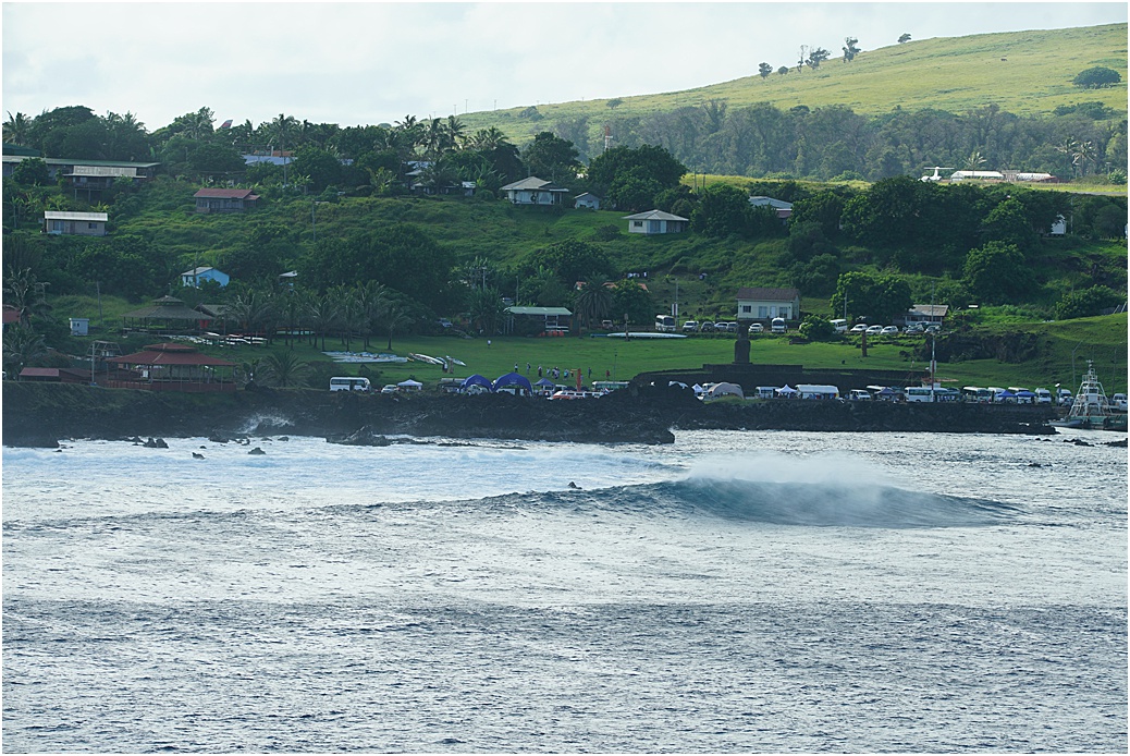
A nice surf ‘break’
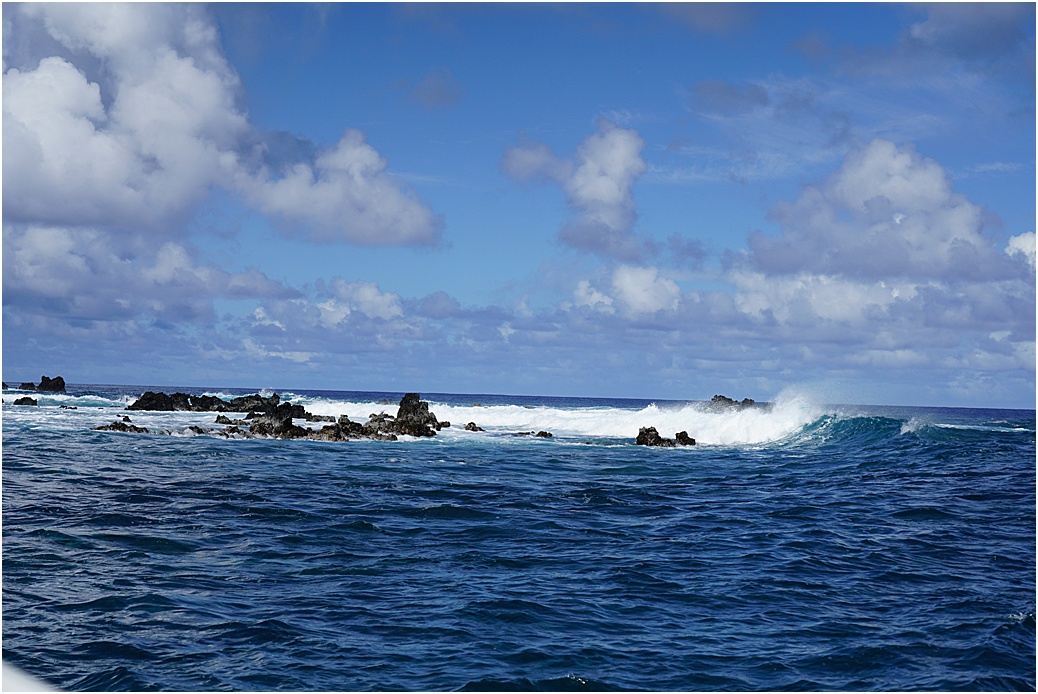
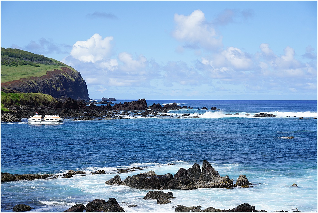
From a tender, the surf and rocks as one approached the harbour

The small harbour itself, with a tender alongside.

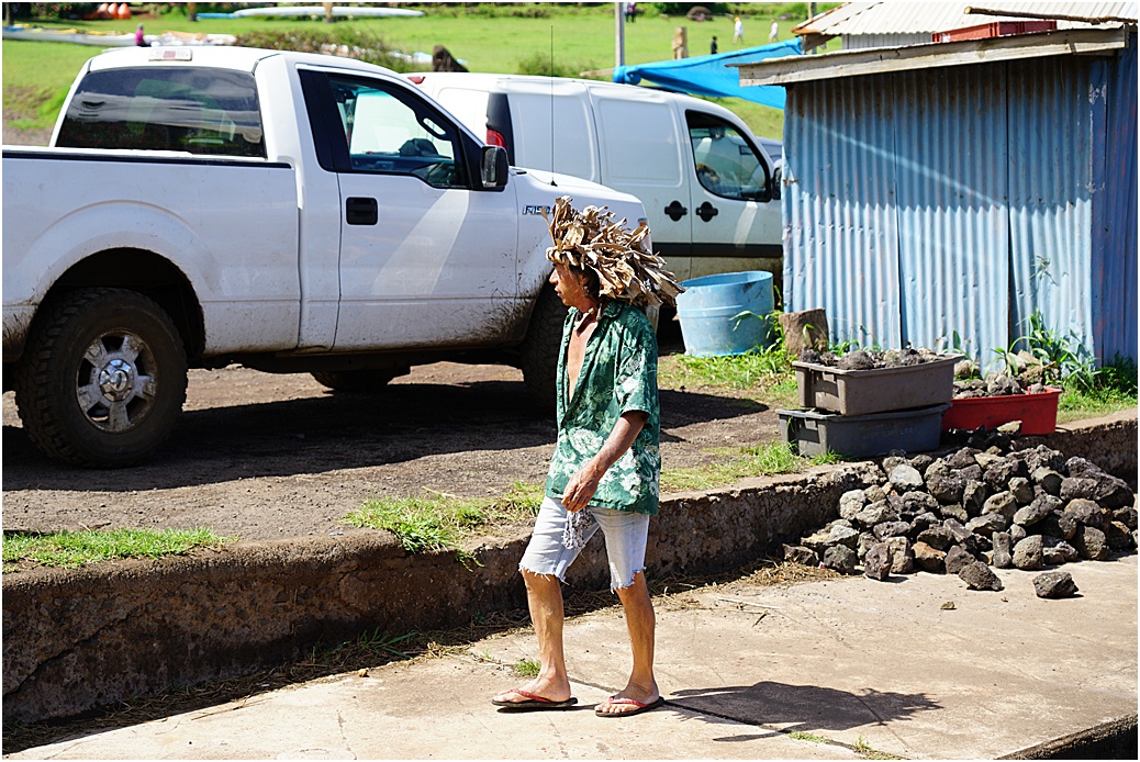
Some quaint head-wear
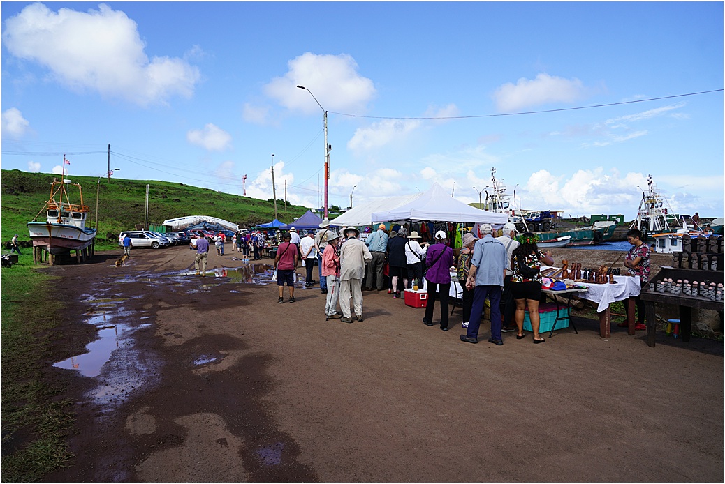
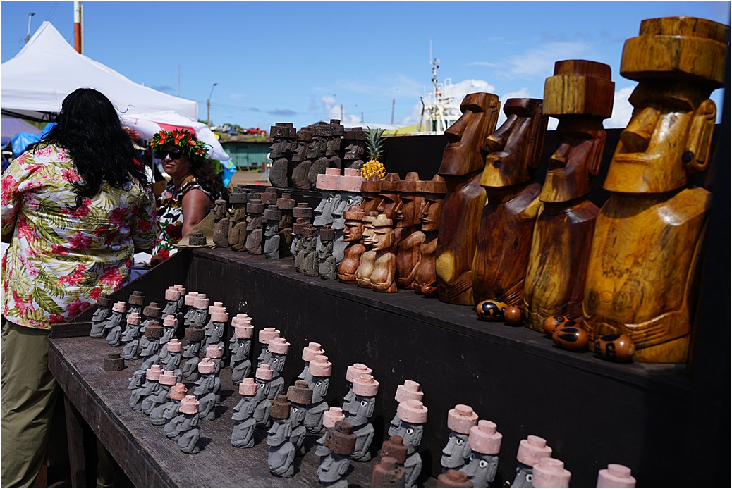
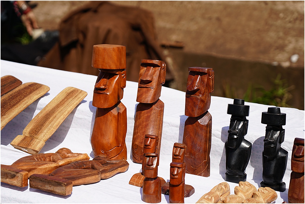
Harbour-side stalls

Looking south
A tender departing the harbour. Each tender had a local ‘pilot’ to assist the coxswain if necessary
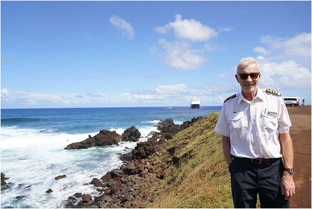
While taking photos, I had more taken of me, than I took myself! With the Amsterdam in the background
Finally, one of (amateurish) 😕 videos
Next stop? Pitcairn Island, of the “Mutiny on the Bounty” fame, an 1,100 miles (1,760 kms) passage. We are unable to ‘land’ here, there is no easy route up the craggy cliffs and nowhere safe to land.

Excellent photos from both of you!
We were anxiously awaiting your report as to if you could land on Easter Island. Well done.
Q: how come on all of our cruises on HAL over the years we hardly ever see a handsome Captain…. until now!
Safe travels.