Our Saturday morning and arrival at Townsville. We had first called here in 2016 after having to avoid a Tropical cyclone. At that time we were the largest (longest) ship they had ever taken and our length of 237m or 780 feet remains the longest that the harbour can accommodate. It is accessed via the Platypus channel, approximately 8 miles long and it is relatively narrow, having been dredged to 11.7m depth and we draw 8.1m, so not a great deal of water under our keel.
Turning for the channel, we pass Magnetic Island, so named by Captain James Cook, who visited the area during his Exploration voyages. His magnetic compass appeared to go ‘haywire’ and spin uncontrollably, hence the name. No-one has since managed to repeat the odd behaviour of the compass.
Wind is always a factor when negotiating a narrow channel; we are a 6,100m2 sail, so when wind increases, it affects us considerably. It affects our ‘swept path’, in other words, the increase in our width taking into account the change in course to counteract whatever wind exists. For example, our width is 32m and, say we are steering 3° off track to counteract a 20 kt wind, our ‘swept path’ or beam increases to 44m. If a channel is narrow, then a decision has to be made, before entering, whether the swept path is going to be too wide to go down that channel in the first place. So when our harbour pilot boarded, one of the factors discussed during our briefing was our ‘swept path’ for the channel, once committed, there is no going back. Fortunately, the parameters were satisfactory and in we went.
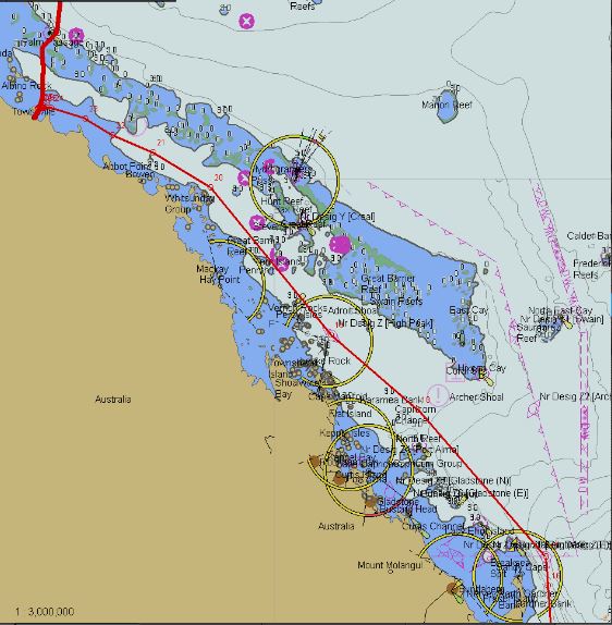
Our route to Townsville through the Great Barrier reef
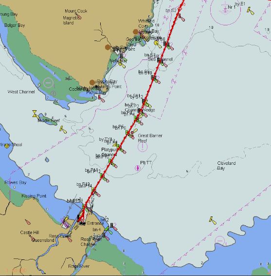
The Platypus channel, Magnetic Island is top-left
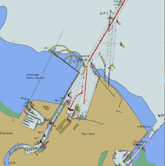
Townsville Harbour
Our arrival time-lapse
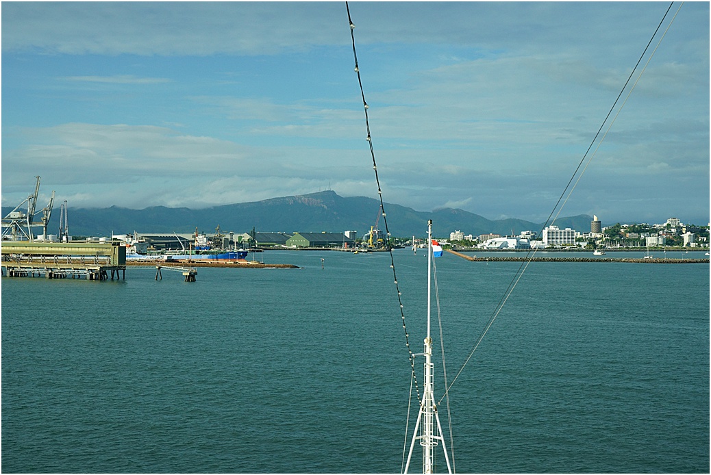
Almost there, Townsville harbour beckons
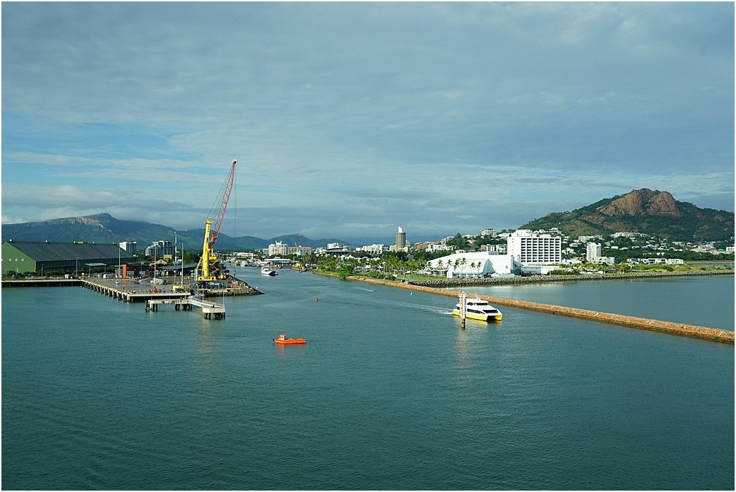
Our dock (left) and the river, (right). The ferries run a regular service to Magnetic Island, a popular destination
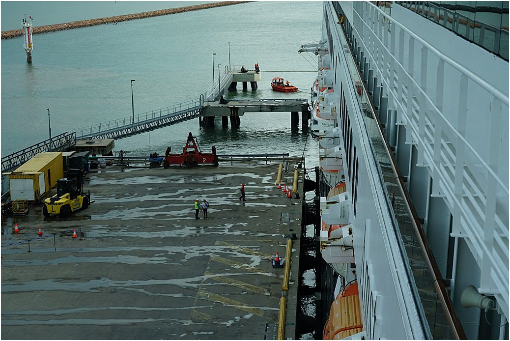
A ”line boat’ assisting our tie-up. It takes the ropes to ‘dolphins’ where the linesmen put them on bollards
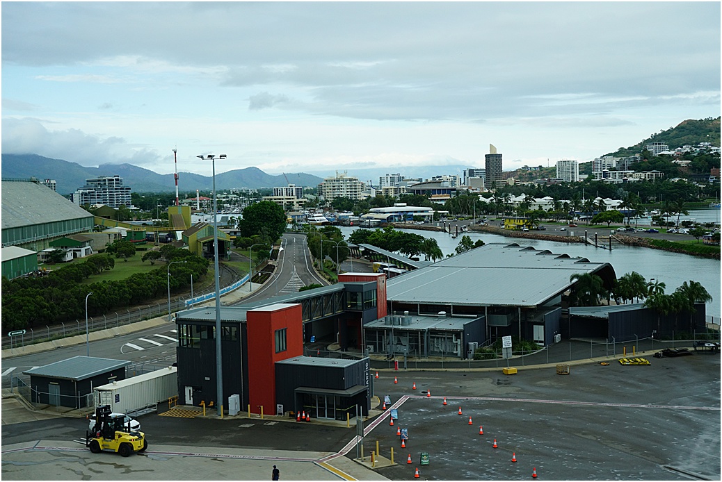
View from the Bridge
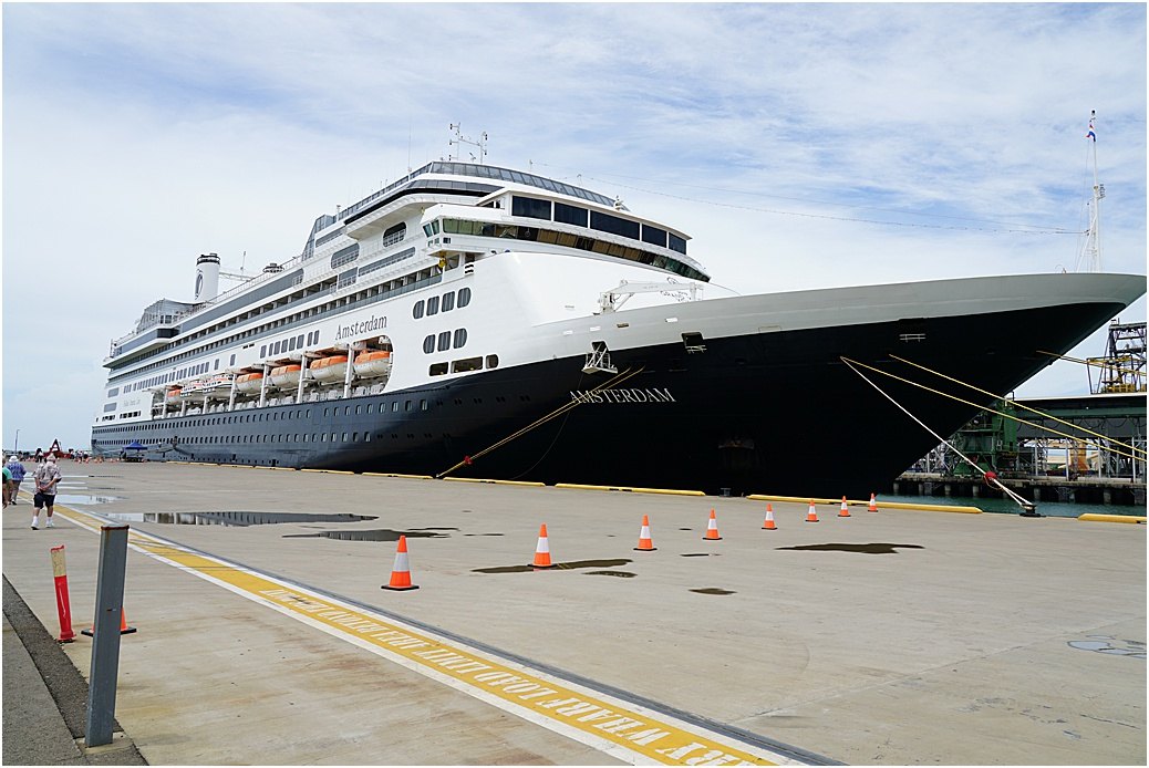
Docked
Karen and I go for a wander ashore, taking one our shuttle buses from the pier to the centre of the town. A cyclone, (‘Oma’) had affected the area, bringing torrential rain, so much in fact that every river in the area had broken their banks, this resulted in catastrophic flooding, the town imposed a 6kt speed limit on the town roads, not for vehicles, but for boats! There were occasional signs of the flooding, however we were in the centre, apparently there was worse damage in the outskirts.
We went to the aquarium before a wander through the streets and then partaking of a wonderful curry in an Indian restaurant.
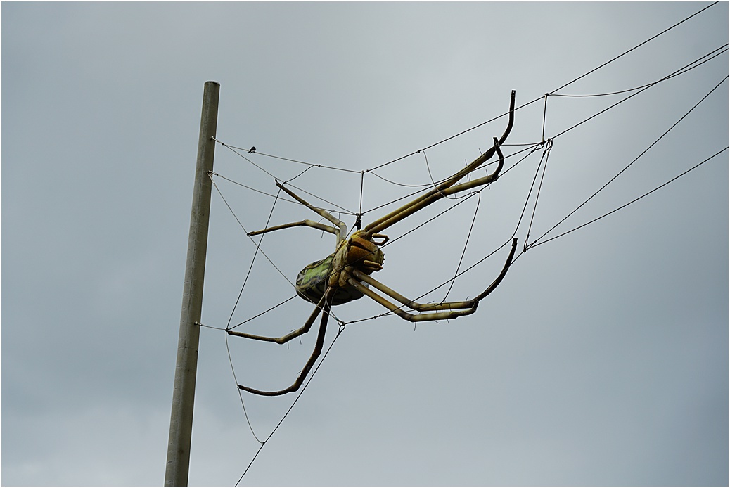
They’ve got some BIG spiders hanging off power poles!
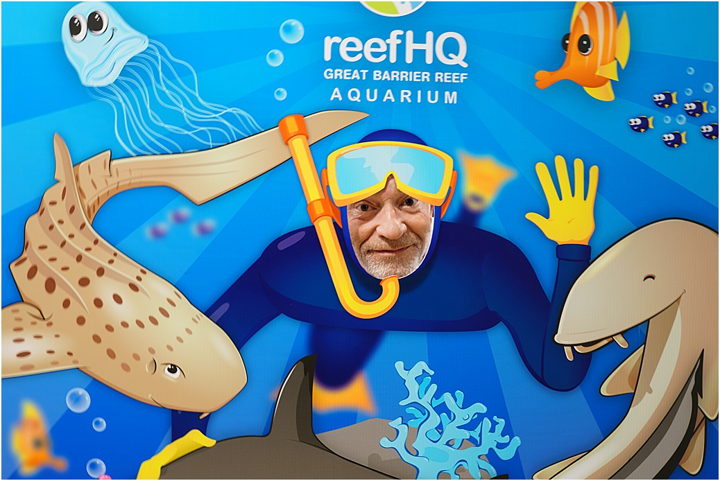
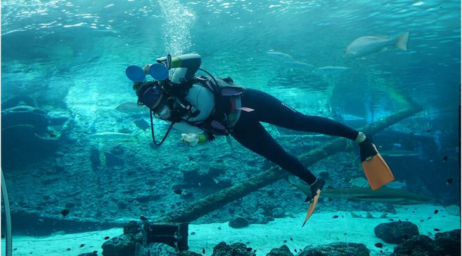
I managed some snorkelling…..
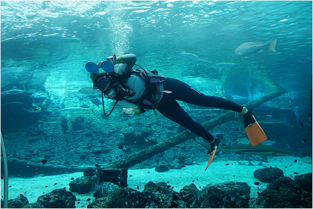
Cleaning the glass, (not me by the way)
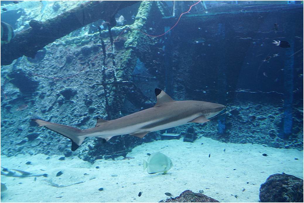
Nearest I want to get to a shark, through thick glass!
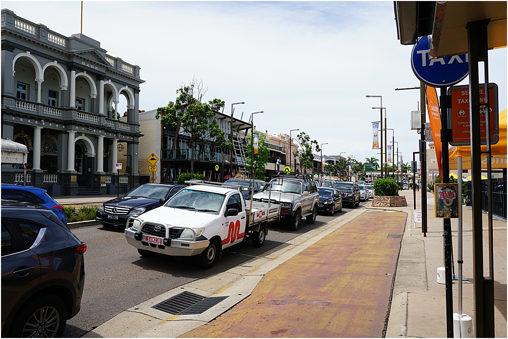
The main street
Departure time-lapse
On then to our next port, an overnight journey to Cairns and it from here that I write. As with Townsville, another briefing with the harbour pilot and another discussion about the wind and ‘swept path’.
K and Hazel are ashore, it being a Sunday, I can but hope that the shops are closed, however I’m not counting on it 🙂 🙂
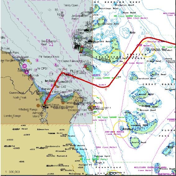
The approach to Cairns, through the reefs
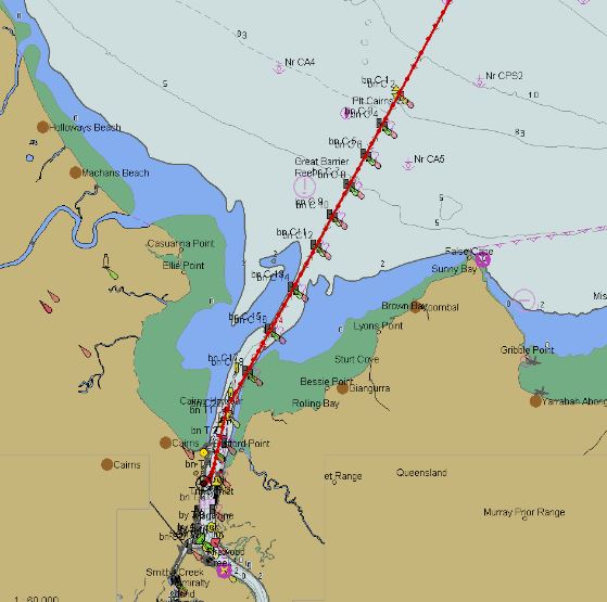
Another narrow, long channel
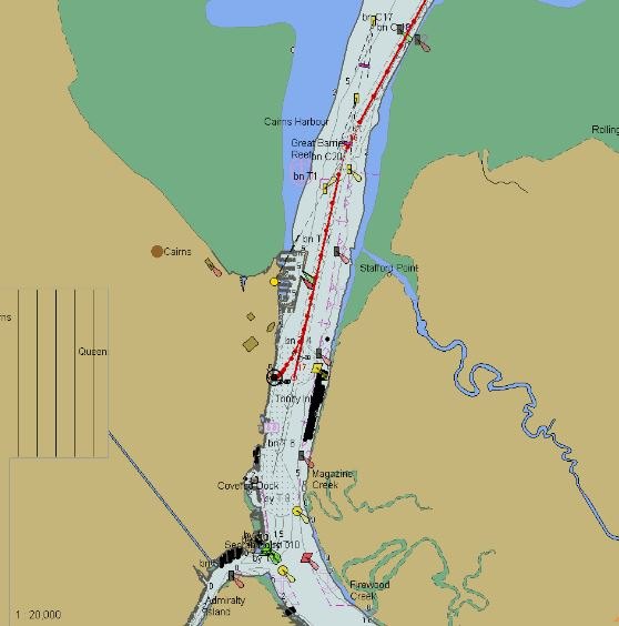
The approach to the dock
We leave here this afternoon, our destination being Darwin, 1200 miles away and a 3-day voyage over the ‘top’ of Australia.
