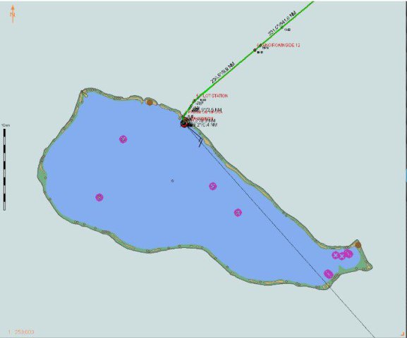
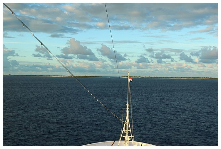
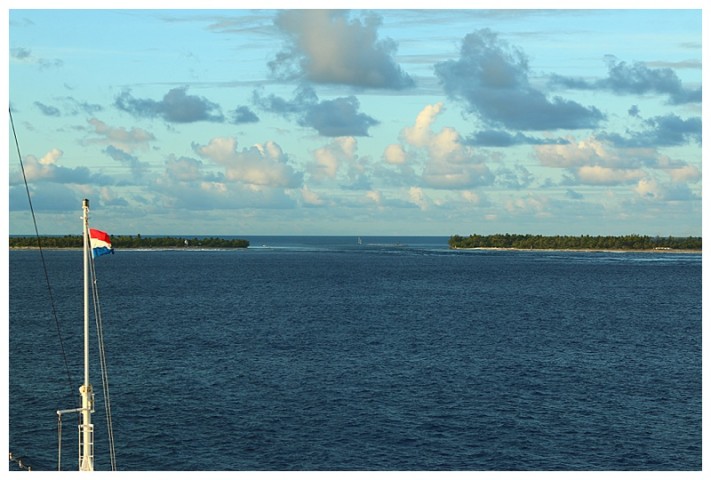
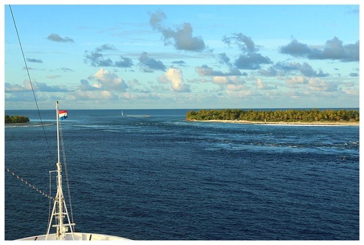
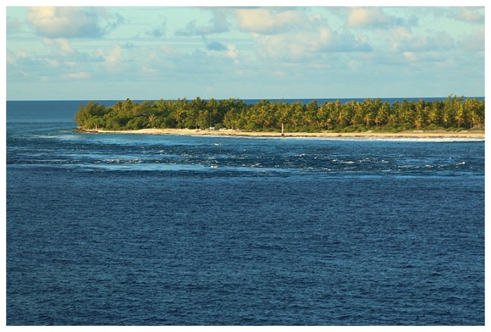
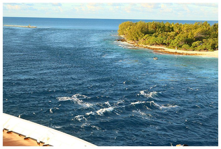
5 in the morning and the first rays of light were coming over the eastern horizon, it was going to be a beautiful day. Ahead of us, on the horizon, could be seen a dark line, with a gap in the centre; the dark was palm trees and the gap was where we had to get through. I see from some of your comments, you are not quite sure of the ‘layout’ of Rangiroa; it is an atoll, a circular mass of coral, with a lagoon in the centre. It is best shown from a screenshot. This ‘Transas’ is not used for navigational purposes, however it’s a great tool for downloading picture files. So, here is an overview of Rangiroa:-
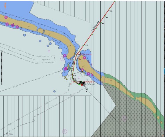
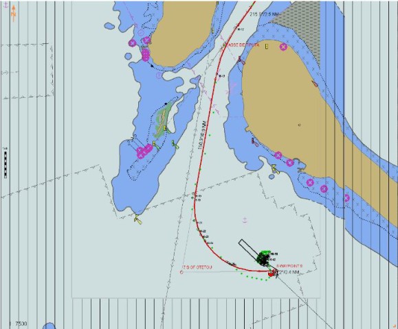
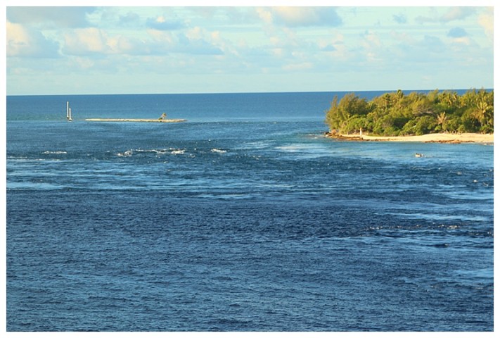
The green line was our approach track. We embark a pilot here, (French), his local knowledge is invaluable, it’s a tricky entrance with strong tides, as you will see from the photographs later. First, some more downloads and you will get the idea.
Now some photos.
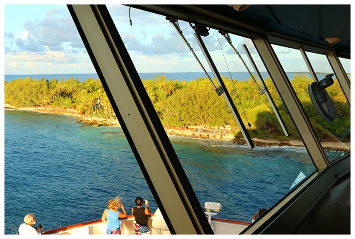
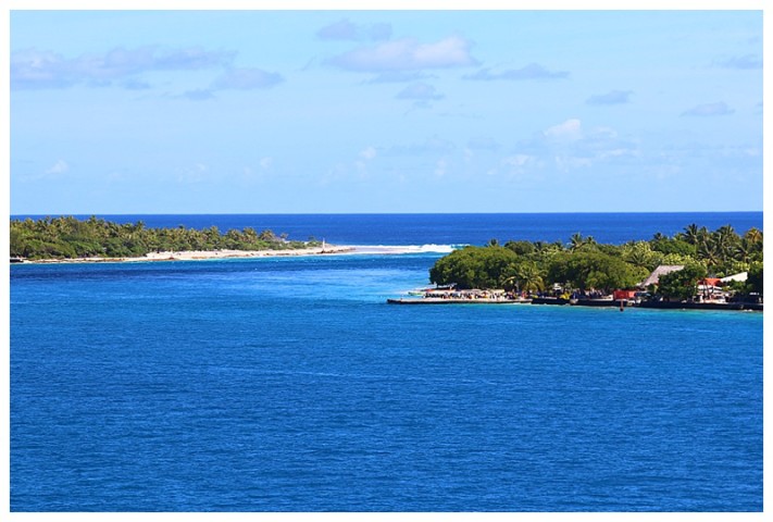
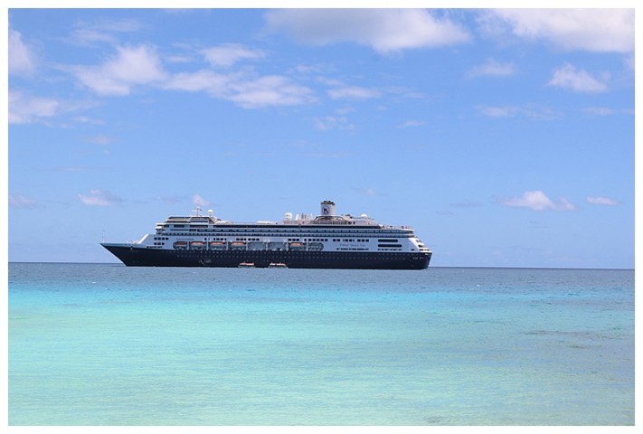
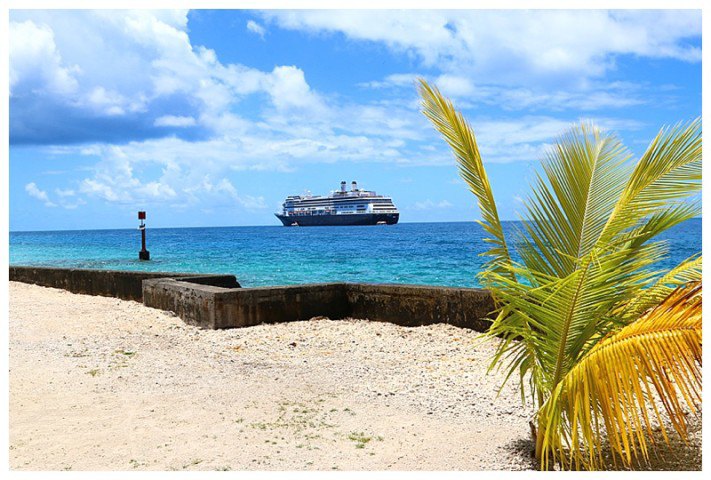
Through the gap, using lots of rudder to keep her steady and we’re through and approaching the anchorage.
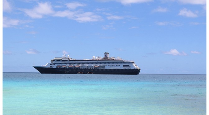
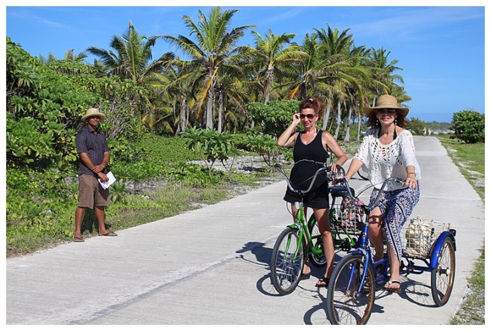
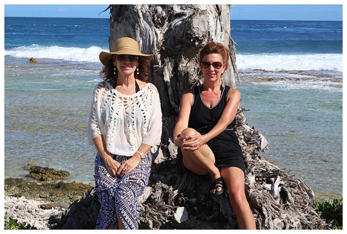
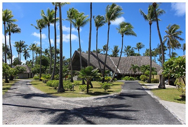
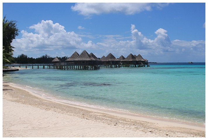
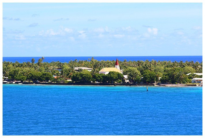
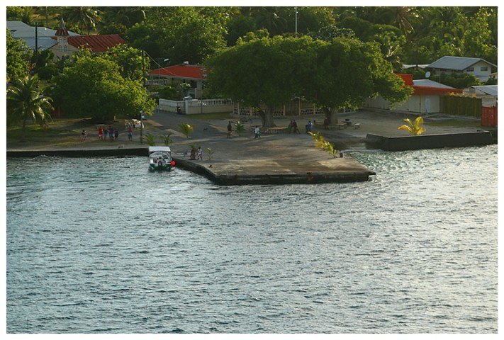
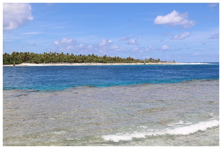
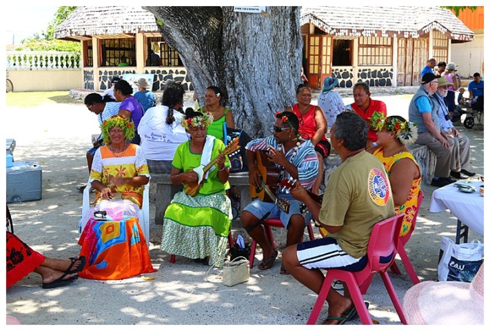
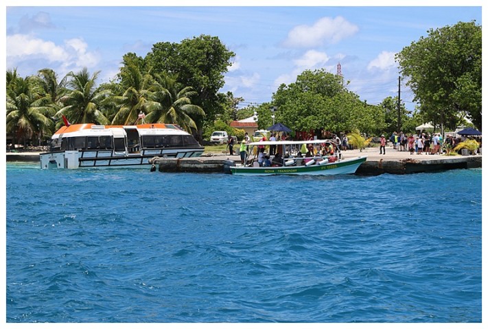
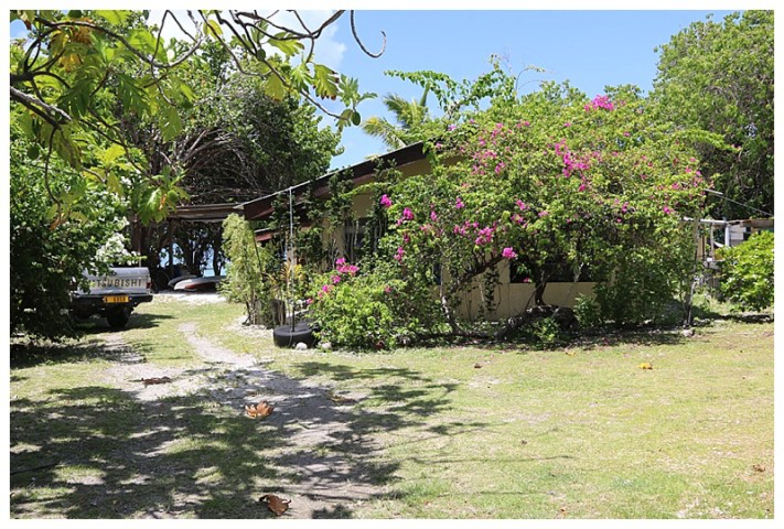
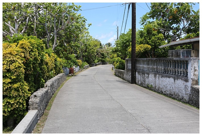
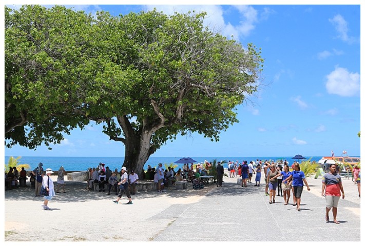
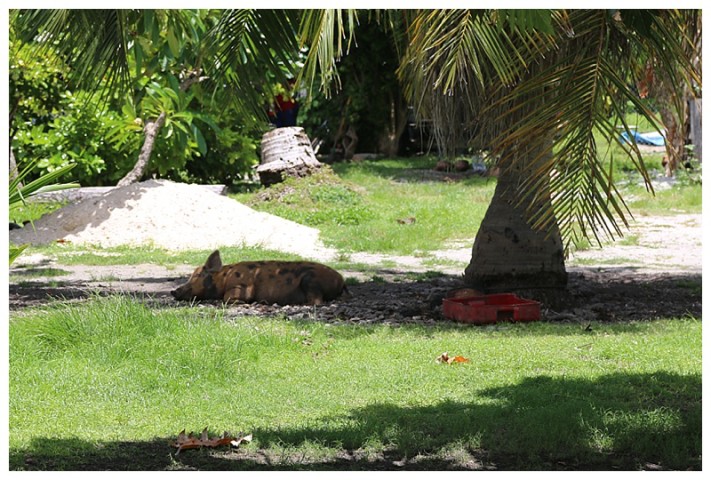
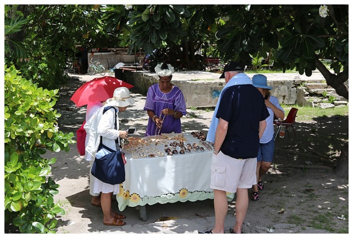
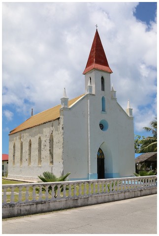
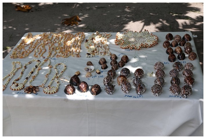
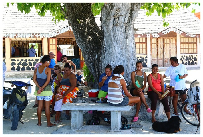
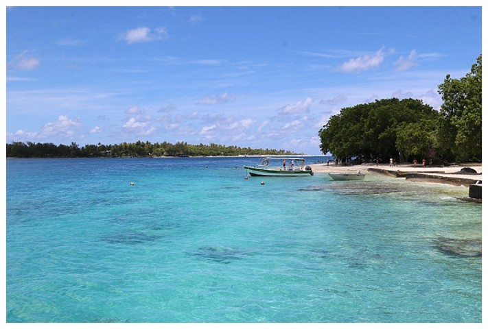
Karen 1 and Karen 2 were off early, I had work to do. We tendered to the pier off the village if Tipata and from there, if one so wished, one could take a water ferry across the ‘Pass’ to Oputu on the other side. The ladies rented tricycles and had a wander, here are a few of their photos.
I managed a wander ashore in the late morning, (for the blog of course).
