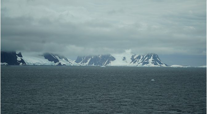
Our day was, of course, meant to begin with a call off Palmer Station, embark the Scientists and Lecturers before we cruised around while they talked to our guests. In my last post I mentioned that this was now cancelled as a precaution against the coronavirus getting this far south.
My schedule already had us going towards Lemaire Channel, or “Kodak Gap” as it is sometimes called. This is because of its beauty and opportunity for photographers. A narrow channel, with steep, snow-clad mountains on either side, it is a destination for the Expedition ships, they being smaller have a better chance of negotiating it. We, on the other hand, have no such luxury; once committed to the channel one has no chance of turning and getting out, it’s too narrow. Similarly, one can’t ‘back’ out. going astern in ice is asking for trouble, propeller blades would simply sheer off if hit.
So, it was with some doubt that we steamed south. I had tried the Channel twice before and never actually got into it, the ice being too thick. Through the binoculars it seemed that this would be the case again, however, one has to get closer to actually see, ice can be misinterpreted from a distance .
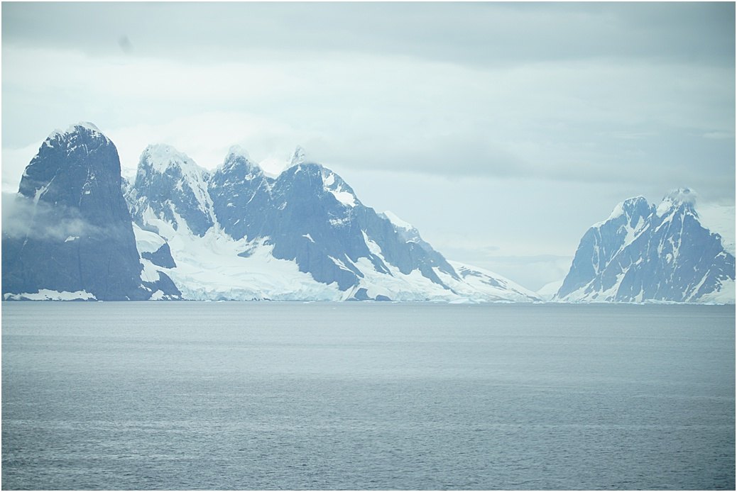
One from my photo library, Lemaire on a clearer day

and today
We continued south, weaving through ‘bergy bits’ towards the north end of the channel.

A radar picture, the blue ‘dots is ice; the brown is land and the grey is unsurveyed, so we don’t want to go there; we are at the the 2 o’clock position
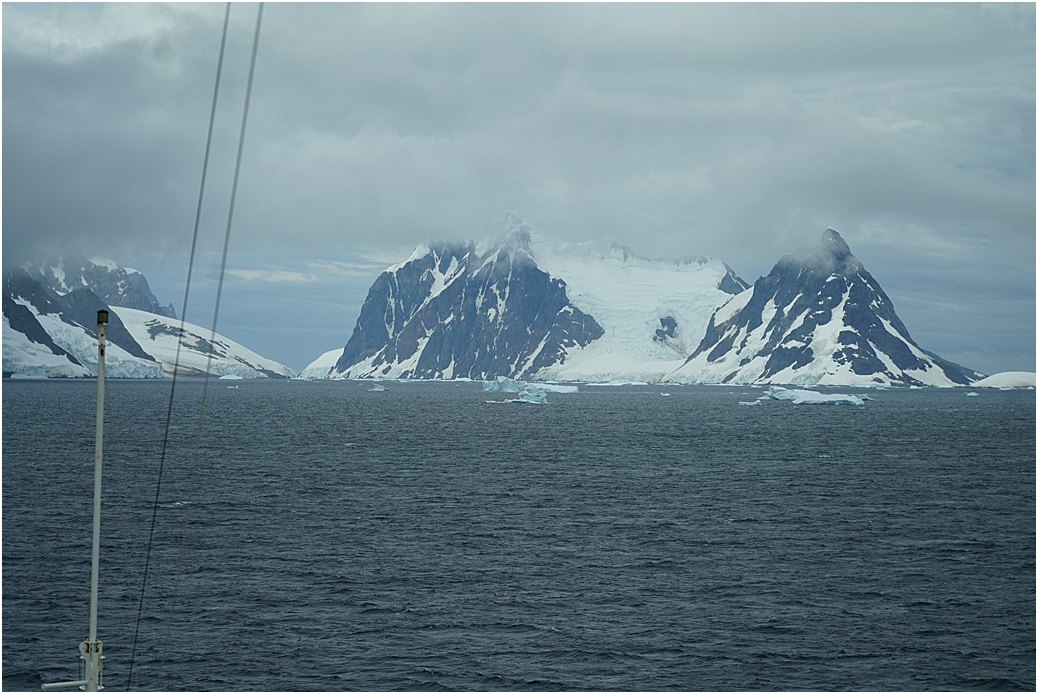
and out of the window
The nearer we came to the entrance, more ice could be seen and crucially, large amounts in the channel itself. Lemaire was going to defy me again……
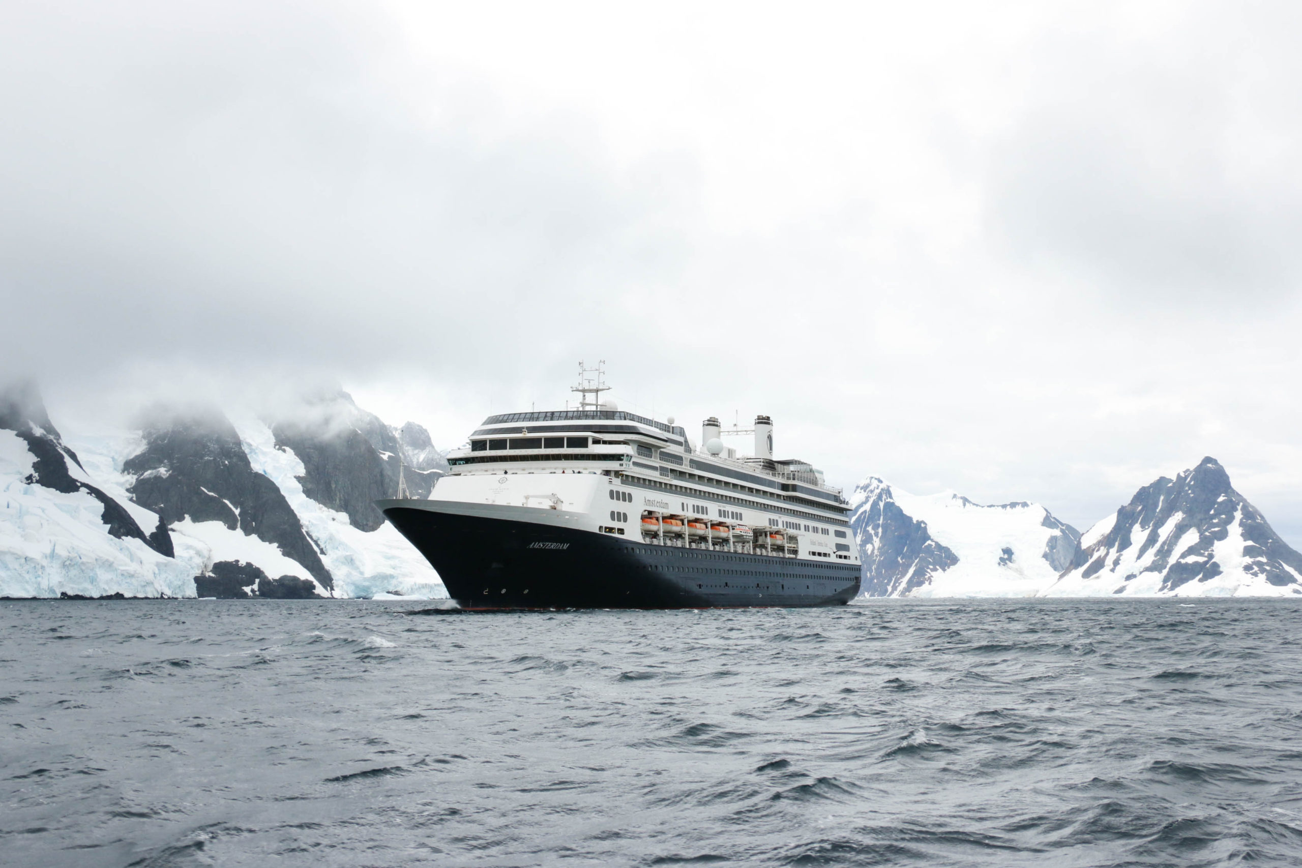
I had wanted to lower a tender, as we did way back in 2002 and get some photos of the Amsterdam. Unlike then, nowadays one has to have permission, not only from our Corporate officers but the IAATO observer as well. Fortunately all were agreeable and we lowered a tender to the water.
 Reluctantly, we departed. retracing our track out and headed for Charlotte Bay in the hope we could find whales. Back up the Gerlache Strait and into Charlotte Bay. We were in luck, more whales than there were in Wilhelmina Bay.
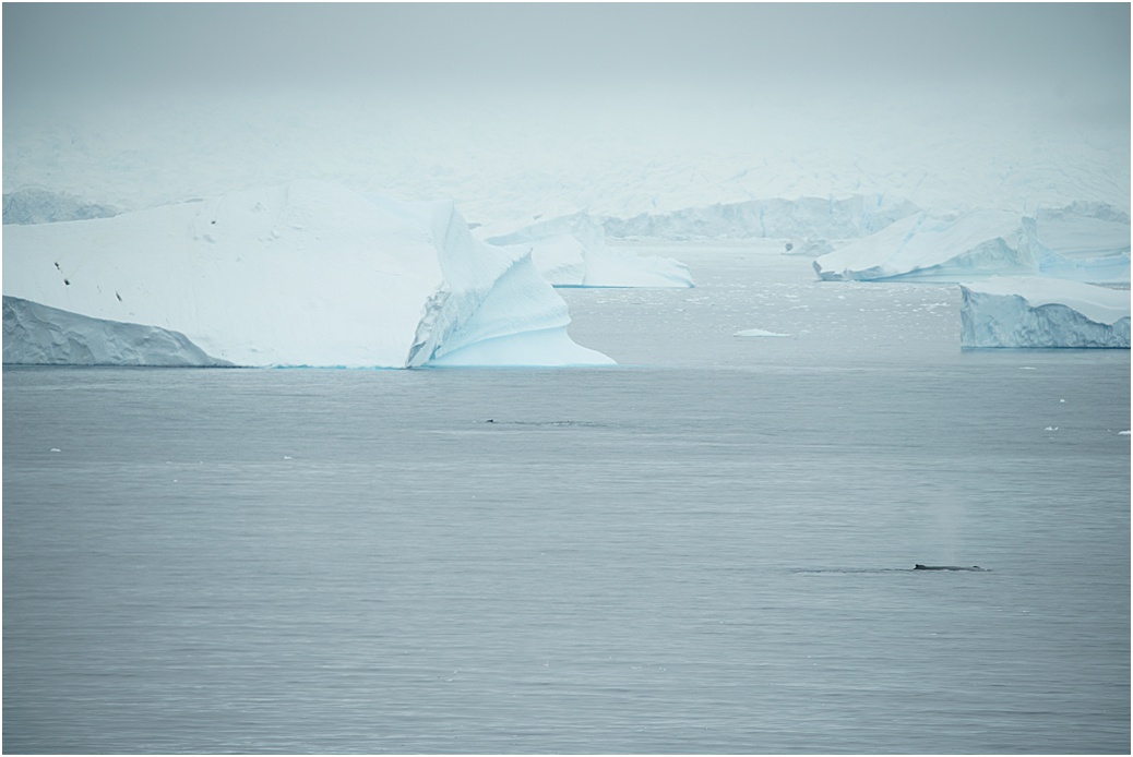

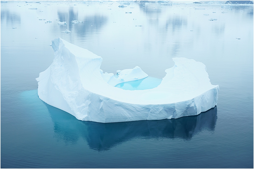 Late afternoon and we set courses for Hope Bay, far to the north and proposed last call; once again, nature threw us a ‘curved ball’ and that night we were enveloped in thick fog. Slowly steaming, at 5 knots we crept up the Bransfield Strait, large icebergs were obvious on the radar, the smaller pieces though, they only showed their presence when closer, hence the slow speed. Early morning and no sign of the fog easing. A Naval Survey ship could be seen on radar, down in Hope Bay and near our intended destination; a call to him over the radio and what I had feared, the fog was dense in there too. There seemed little point in even trying to get there, we wouldn’t have been able to see the penguin colony anyway and so we turned to the north, making courses towards Cape Horn. It is here we arrive tomorrow morning, some scenic cruising and on to Ushuaia for tomorrow evening.
