You are, no doubt, wondering where I’ve been. Actually it’s been rather busy here and another factor being that my internet connection has been ‘sporadic’. It would seem that matters have improved on the latter, so here we go………..
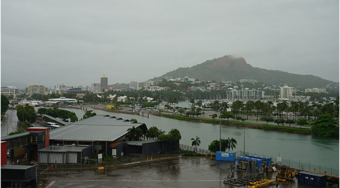
We first called in Townsville way back, I believe it was 2012 when, having had to cancel or call at Brisbane due to weather, an alternative had to be found and Townsville was it. They had never had a Cruise ship call until then, so it was quite a thrill for them. Now, it’s a regular call for many ships during the season.
We came up the coast from Sydney in gale-force winds and high swell, around 4m or 13 feet; fortunately it was all from the south, so we were ‘surfing’ the swell and the wind gave us a nice push along. The city is just inside the Great Barrier Reef, (GBR) and consequently we have a compulsory Reef pilot, ours coincidentally had been with us on previous transits of the GBR. Well ahead of our transit (weeks), we are in communication with him about our intended tracks through the length of the Reef, he in turn gives his ‘take’ on it and offers minor adjustments if necessary. The GBR is also an environmental area, no waste streams allowed and we have to plan for that too.
Townsville, like many Australian ports is accessed through a long, (7 mile), dredged channel, about 90 m of useable width and ‘wind’ is a big factor in the decision-making process as to whether to commit to the entrance. We are a big ‘sail’ and wind has a tremendous effect in such circumstances, basically the width of the ship increases as the course steered compensates for the its effect, one ‘crabs’ sideways. The stronger the wind, the wider the path becomes. So, once our pilot boarded, there’s a 10-minute discussion as to intentions, speeds, path width and many other factors to be taken into account and then of course, the final question, “are we going to commit”? In this case, the wind was between 20-25 kts, (22-30 mph, 32-48 kph) and speed in the channel vital, Long story short, we docked
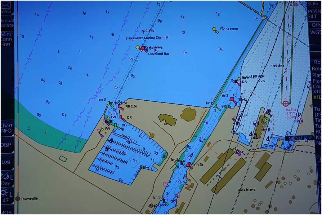
The port and our dock, at the 3 o’clock position
I did not go ashore unfortunately, too much going on, so some photos of the environs will have to suffice.
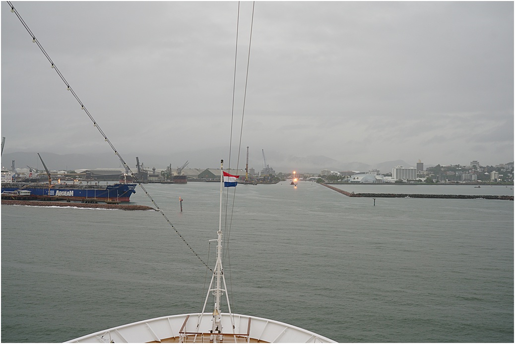
approaching the breakwaters
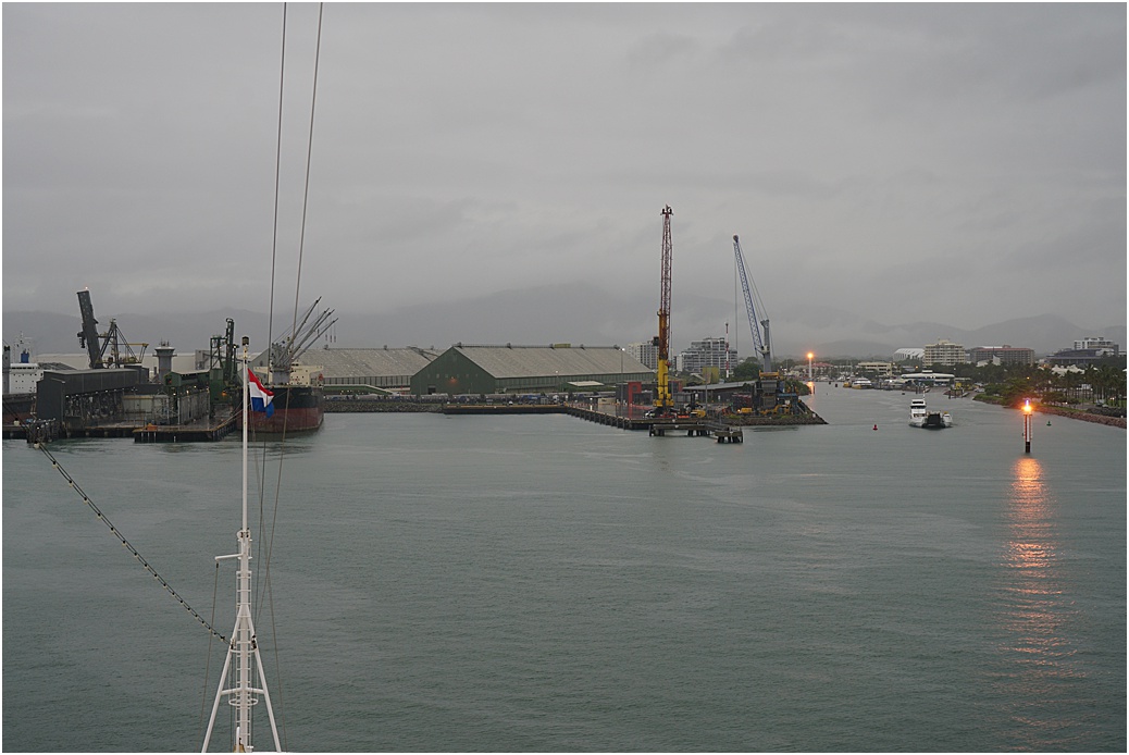
and the dock ahead
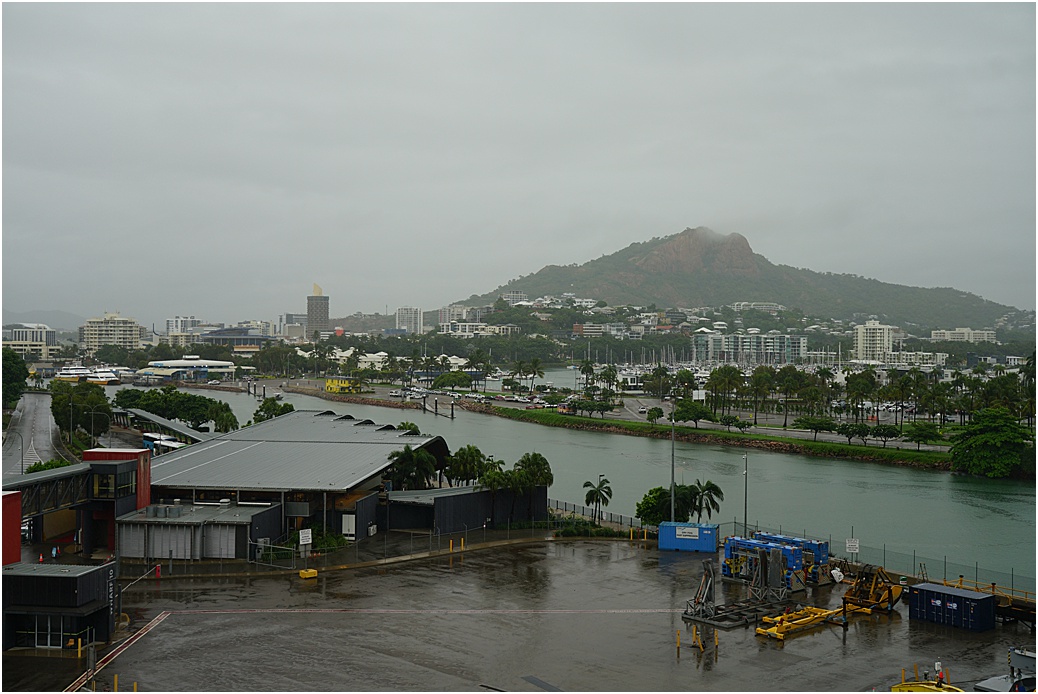
Looking across to the town, ferries run from here to Magnetic Island
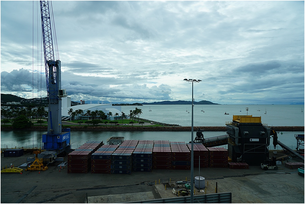
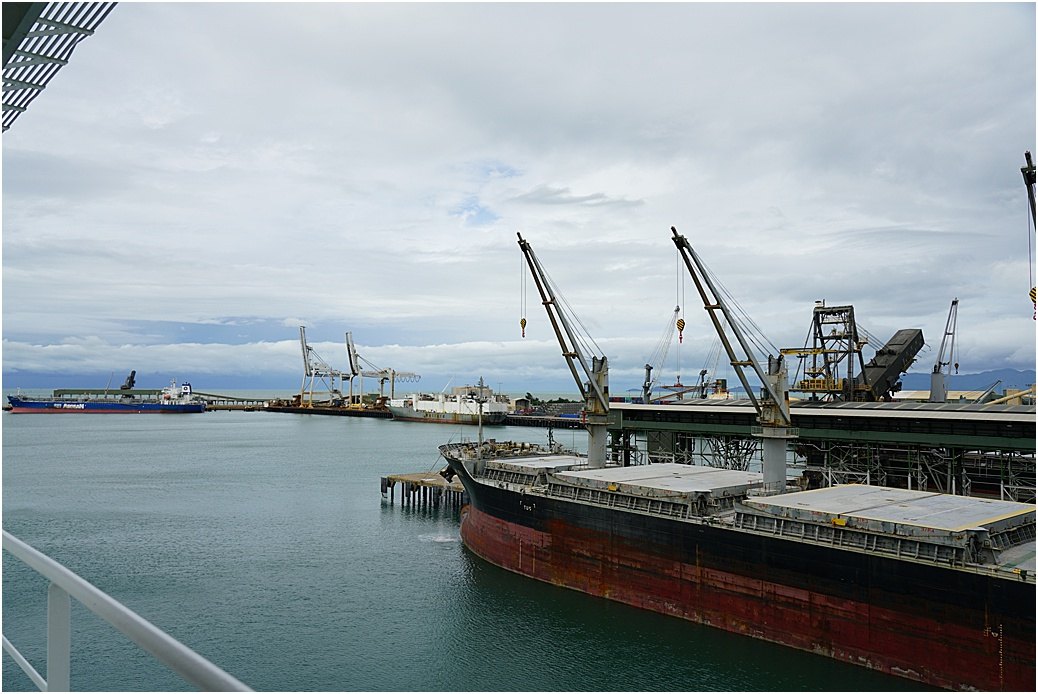
On our port side, cargo ships, waiting for the rain to stop before they can resume cargo-handling,
The gales that we encountered coming north were contributing to a weather system off the coast of Queensland, a tropical depression was forming. Weather maps were pored over, forecasts perused. The coastal belt, which we were going to navigate, seemed to miss the worst of it and the system was moving south-east, away from us, it was working nicely for us to continue.
More wind and rain as we moved north through the GBR, more forecast predictions. However, one can look as hard as one likes. the decision can only be made when one can see the actual weather on arrival off the channel entrance. Unfortunately my GoPro packed it in for the arrival, although one couldn’t see much anyway, the wipers on the Bridge windows don’t go low enough! The same procedure with the pilot for arrival Cairns; another long, narrow channel to negotiate and again, we made it in.
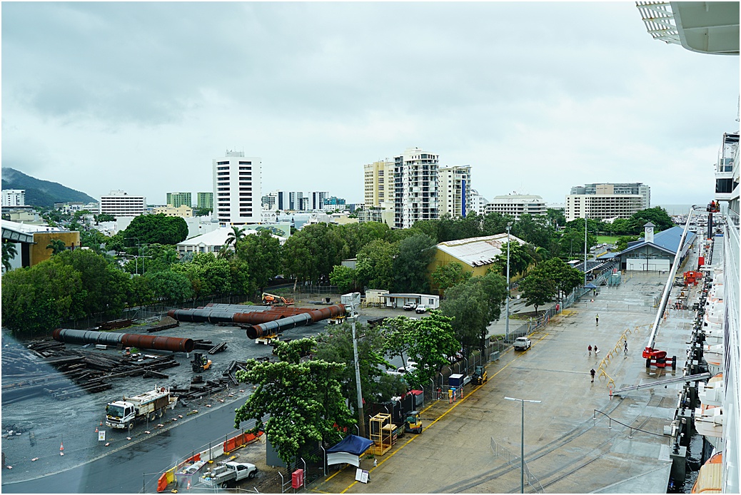
The city of Cairns from the Bridge wing
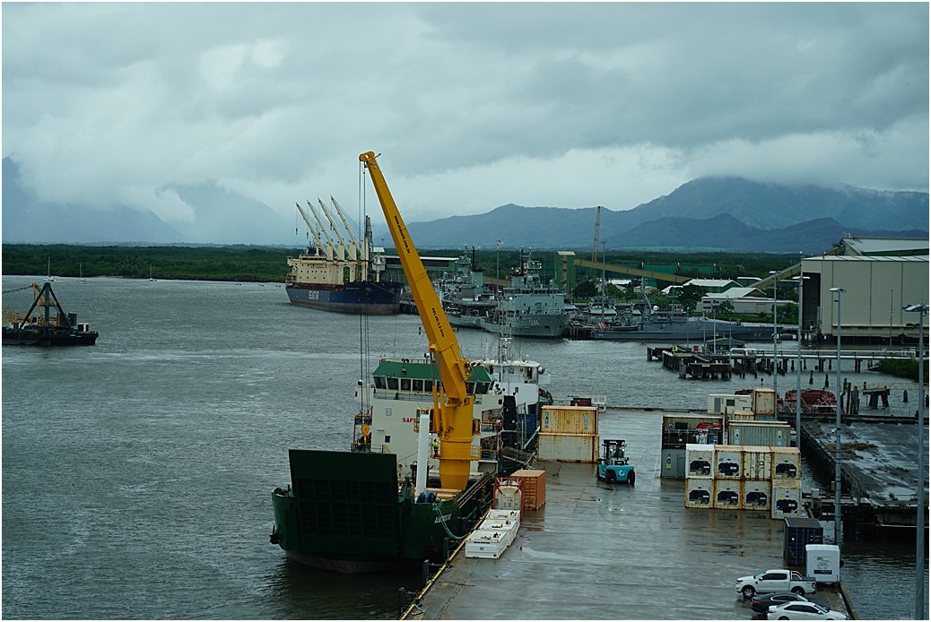
looking forward, the Naval base ahead and the cargo berths
Our departure.
While I was writing this, correspondence came in, HAL is ‘ceasing’ cruising for 30 days, we are keeping our Australian portion, Darwin, Broome, Exmouth and Fremantle and that’s as far as we go, Guests disembarking. Not sure what we (crew) will be doing yet. Hell of a Final voyage isn’t it?
