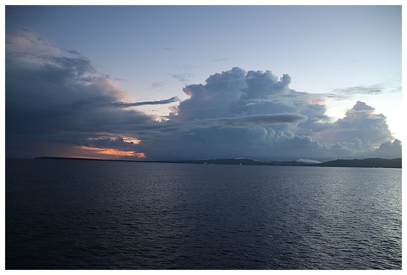
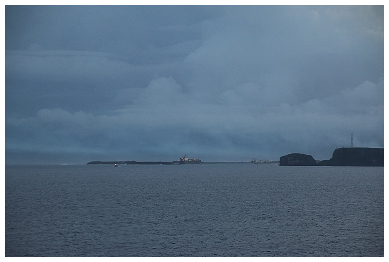
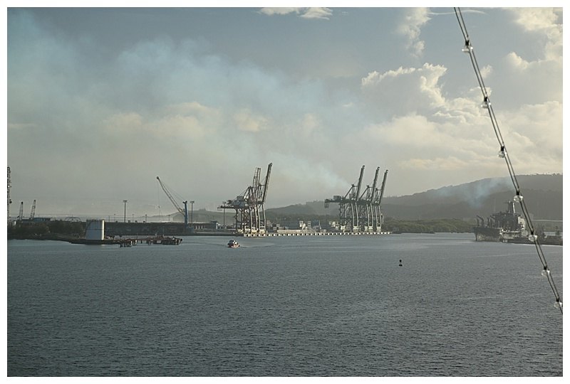
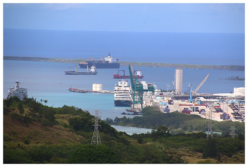
After another 5 days of crossing the Pacific we made landfall off the island of Guam during the early morning of February 7th. Dawn was breaking as we made our approach to the pilot boarding point and we were ‘cleared’ by the US Coast Guard control to enter this largely naval port.
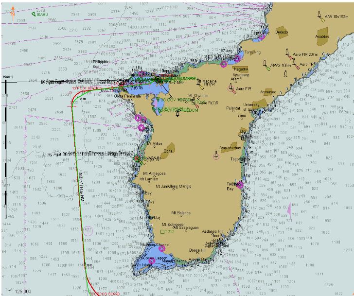
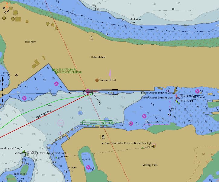
An overview of the island and our track
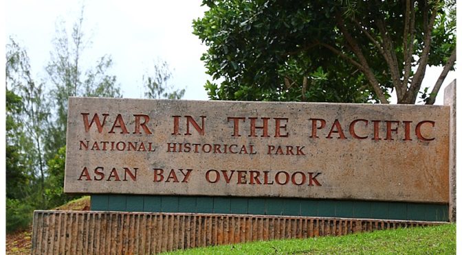
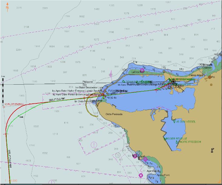
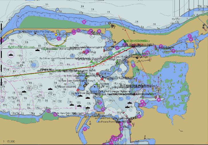
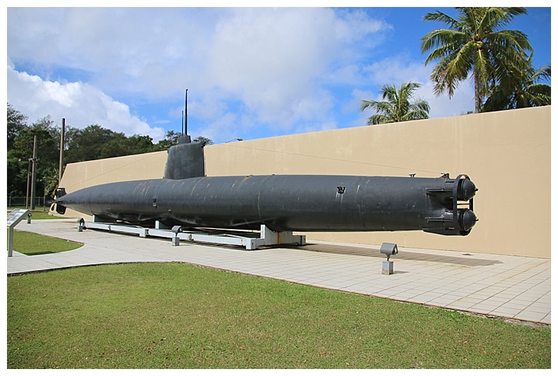
It is of course one of the ‘island hopping’ islands of the Pacific and it received its baptism of fire during July of 1944. I didn’t know what to expect, it was my first call, although not the “Amsterdam”, she was in familiar waters. Approaching the entrance, we were escorted by 2 Coast guard vessels, their .50 calibre machine guns in the bow, providing comfort. Within the harbour, one comes in on ‘leading lights’, these give you a path between the shoals in the harbour and safe water for us. Having negotiated most of the harbour, it is then necessary to do a ‘wheelie’, swing round through 180° and then back in towards the berth. Alongside and, being U.S. territory, it is necessary to go through a CBP inspection before we are allowed ashore. Hazel, Karen and I had hired a car to take us around and our driver, Kevin, took us to places of interest. The Pacific National Historical Park has several places of interest and we started at the Visitors Center (sic), outside, a Japanese 2-man submarine which ran aground while attempting to infiltrate the harbour.
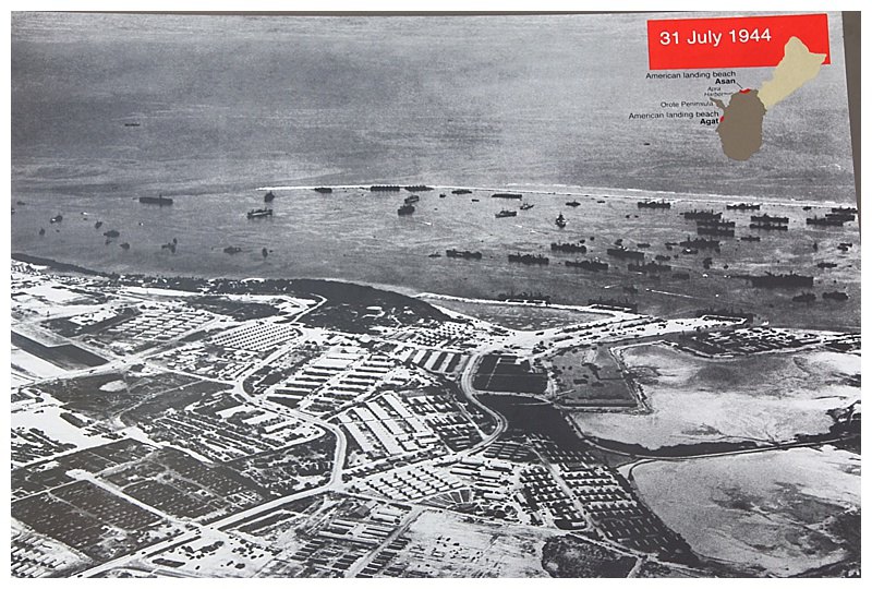
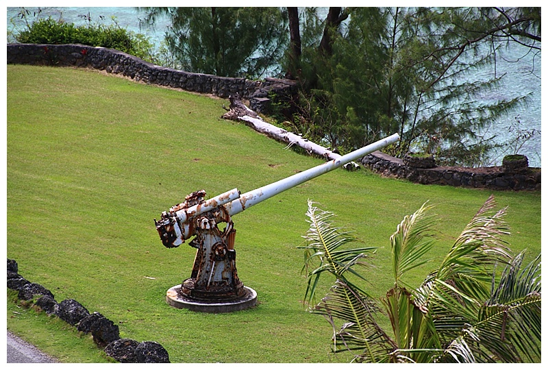
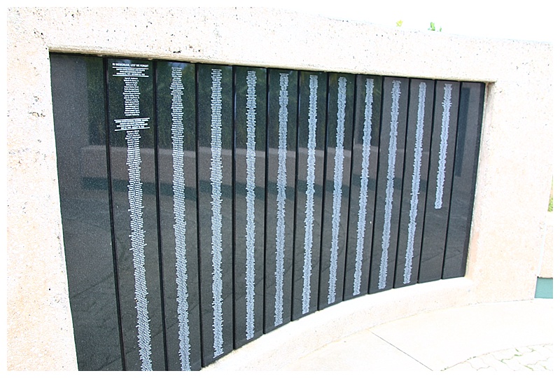
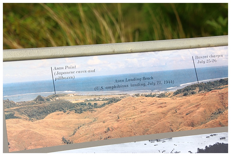
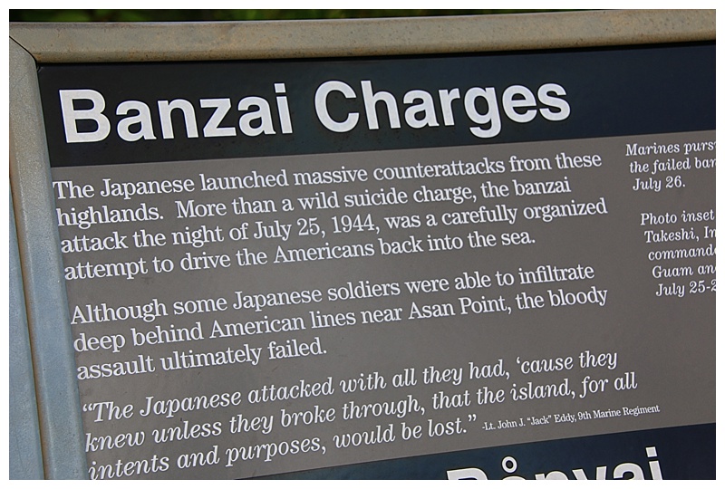
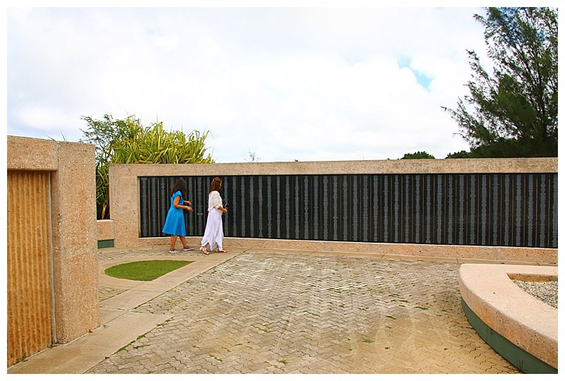
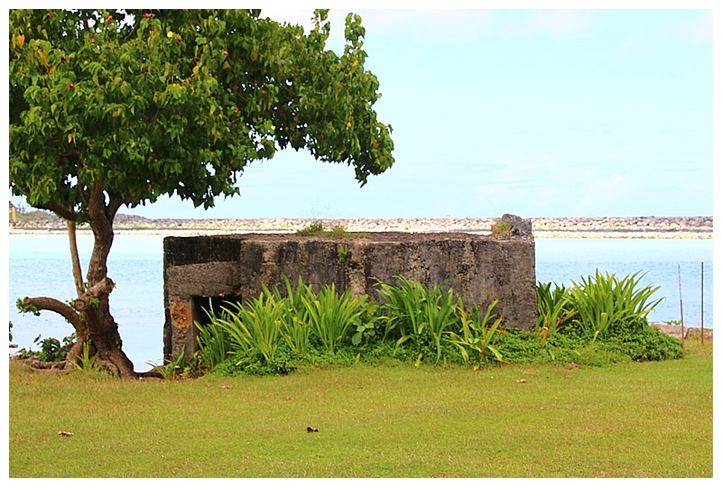
There were 2 invasion beaches, both heavily defended by the Japanese and the ensuing battle took the lives of 7,000 Americans and 17,000 Japanese, a hard, bloody slog. There are still signs of the battle and the pounding that it received both before and during the invasion. We went to Asan beach, heavily fortified in the hills above, it took a week for the Marines to gain control and on Asan ridge, there are still gun mounts, pillboxes and tunnels, heaven knows what those men went through.
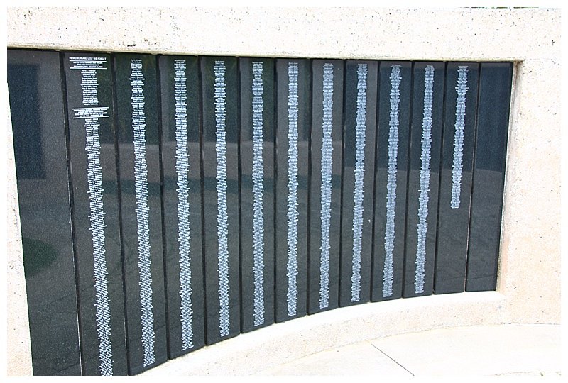
and just some of the local Chamorro, who suffered terribly and who fought alongside the Americans after the landings
The ladies want to try to find a market, (nothing new 
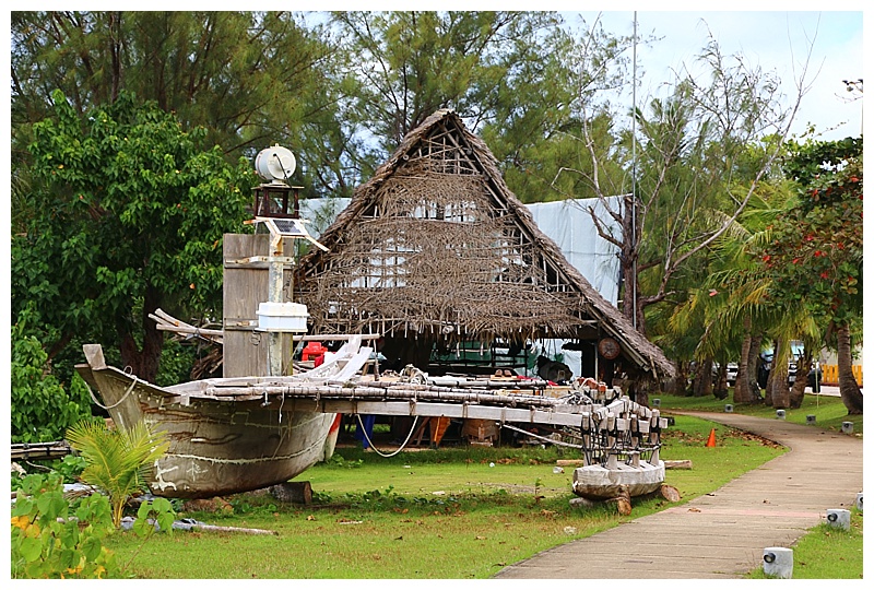
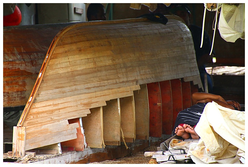
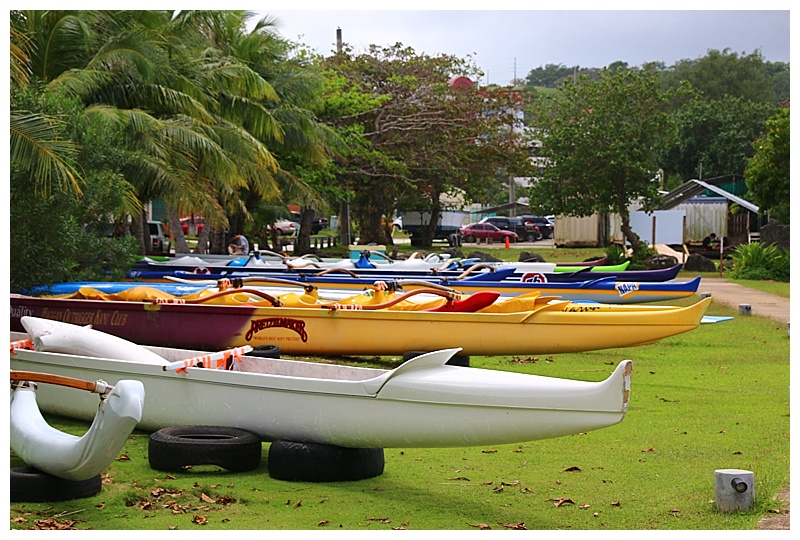
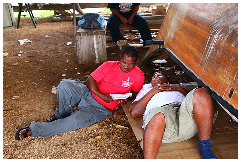
More peaceful times and rows of racing canoes are lining the grass, while nearby a decrepit boat-building hut in which the occupants appear to be sleeping.
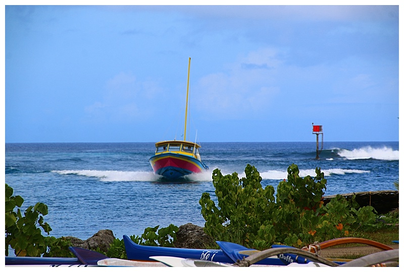
 While in the harbour, colourful fishing boats enter, having to go at full speed to traverse the swell breaking on the reef.
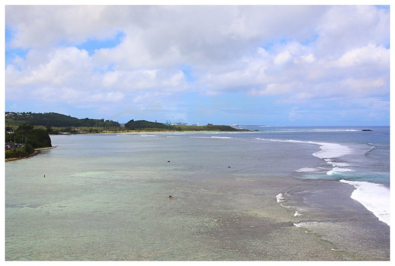
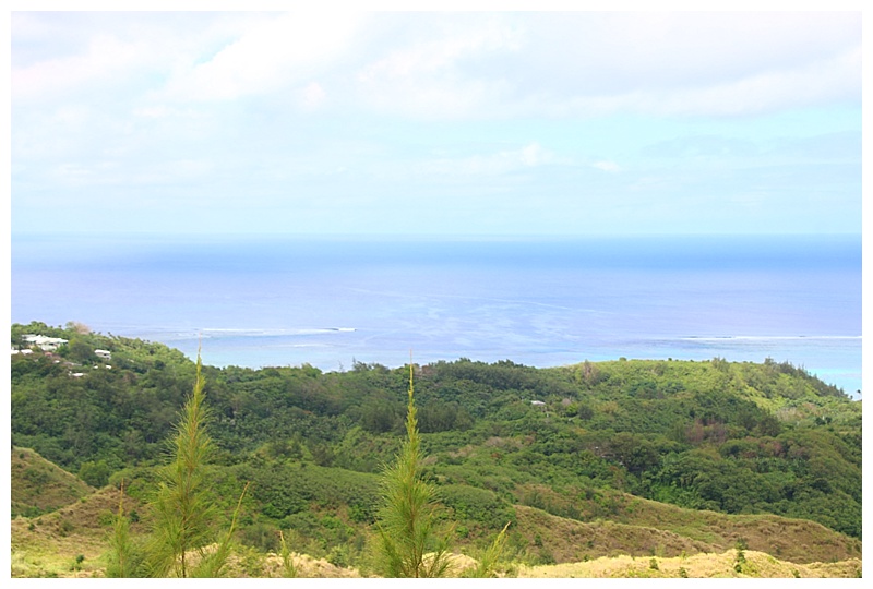
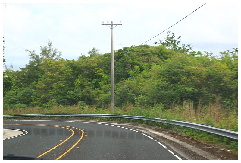
I wasn’t expecting the amount of traffic and some of the 6-lane roads, but most wind their way through verdant hills and turquoise sea.
On towards Saipan as I write, however it looks as if I won’t make ashore, having a few hours away from my ship means the emails are mounting and need dealing with……

Captain Jonathan.
Thanks again for your blog: photos and history.
Cheers!
On the charts there is a green line and red line. Is one the planned course and the other the actual? Which is which?
Hello Ted, the green is the actual, red is planned. The programme I use to post is not used for navigation, (it’s just easier to ‘copy and paste’ for the blog).
Hi Captain John if your emails are working does that meam the passangers is also? Really need to get word to one of them.
Hello Sandy, if the guest is using our internet facility, then yes, they can receive emails. I don’t want to use this medium for private messages, however, if it’s REALLY urgent, you can let me know, just give me a name and I’ll inform them of your need to speak/write. Hope this helps.
Thanks for the “updated tour” of Guam! I was reminded that the breakwater was the almost-final resting place of CARIBIA (the former Cunarder CARONIA a/k/a “Green Goddess. Too bad you will not get the opportunity to go ashore in Saipan. It is truly a hidden gem and of significant historical importance. Peter