I stayed on board during our time in Singapore; to be honest, the city does nothing for me, unless of course one needs to shop. Subsequently this post has more of a ‘Nautical’ nature, the approach and transit of the Malacca Straits being the ultimate challenge in a Navigator’s tasks.
Planning is intricate and, as I have mentioned before, prior to the transit, every detail has been discussed with the Officers of the Bridge teams. Contingency actions, speeds required at certain points, reporting in points…the items are many and detailed.
There are 2 on watch on the Bridge at all times, a Navigator, (the senior) and a co-navigator; in addition there are 2 quartermasters/helmsmen. There are 3 ‘teams’ and they rotate, so all 3 cover a 24-hour period. We have come from Semarang of course and we have made a faster speed than required to the eastern entrance to the Straits; this because it gives the opportunity to slow down when in the lanes, or, if necessary, there is some power left to increase for a spell. Normally, when in open ocean, ‘Closest Points of Approach, (CPA) are measured in miles, in the Malacca Straits it is measured in yards, not literally of course……
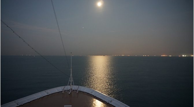
I came on the Bridge very early, still dark, a glorious equinoctial full moon lighting our way.

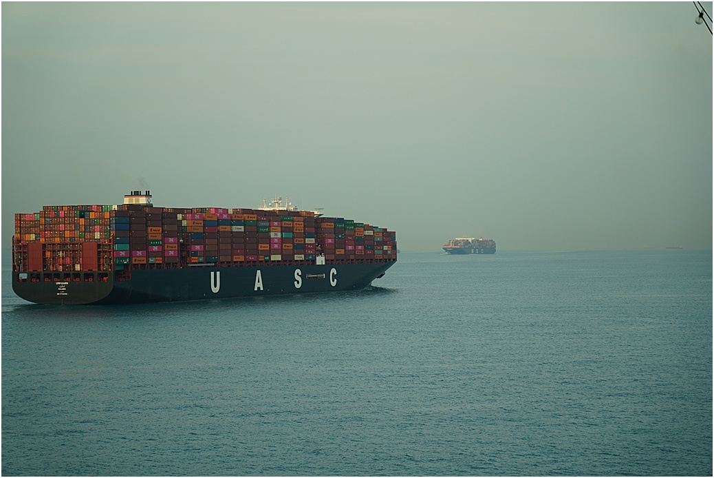
We are overtaking a Container ship, while another is going in the opposite direction, (east)
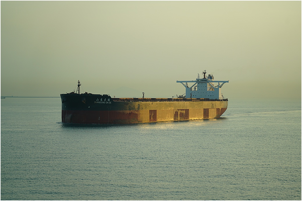
..Meanwhile, on the other side of the ship, we have just overtaken this one.
We are monitored by Singapore VTS, (Vessel Traffic System) and the Straits are divided into sectors, so we are ‘passed on’ to the next sector as we move west. The VTS informs us of any traffic likely to cause a challenge as they make for the various Pilot Boarding grounds which extend along the length of the Straits near Singapore.

Ships lying at anchor keep out of the traffic lanes
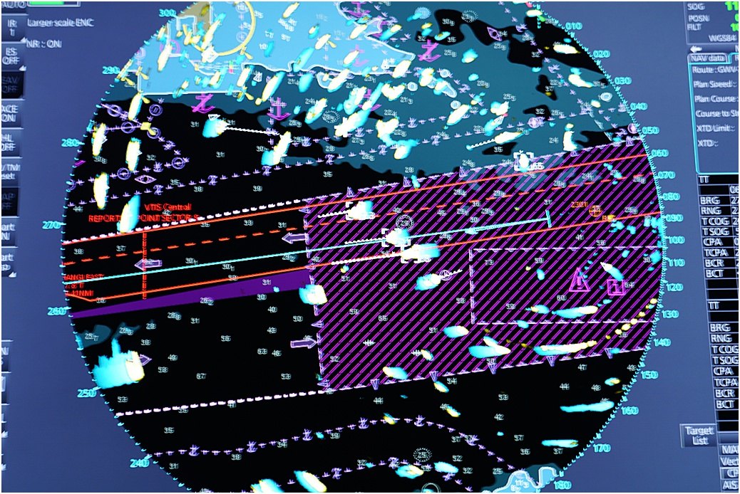
A radar picture, ships at anchor are at the top, while ships in the traffic lanes are the remainder. Westbound is the north lane, eastbound the south. Thick magenta is the separation between the lanes and the ‘striping’ denotes an indication of an area where ships will cross the lanes, a ‘cautionary area’ We have 3 vessels ahead of us, going the same way, while another 8 are in the east-bound lane.
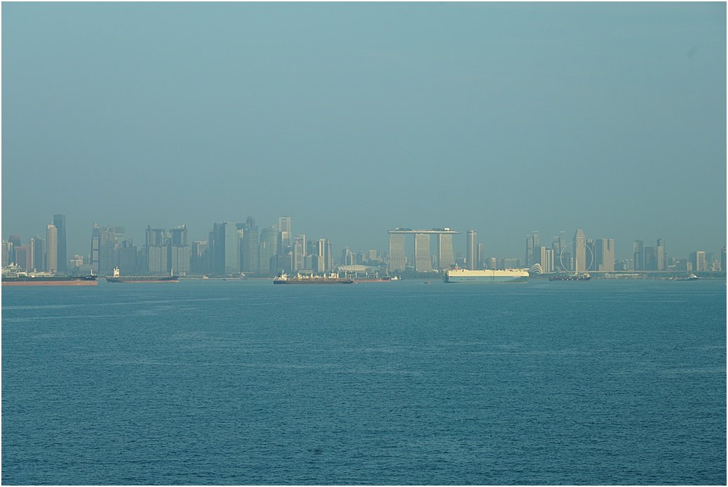
The Singapore skyline. Marina Bay Sands hotel is easy to see..
As we approach the ‘Southern Boarding Ground’ for our pilot, the traffic situation has to be monitored more intensely; it is here that smaller vessels use an inshore traffic scheme, so we have to cross these lanes.
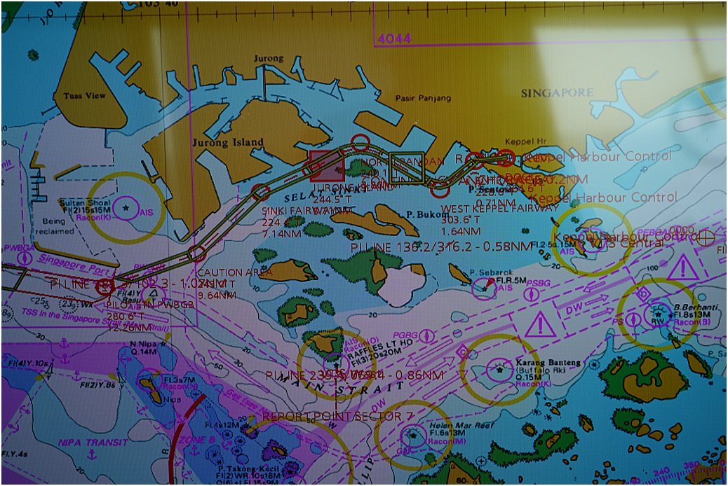
This is a photo of the Electronic chart, apologies for the quality, the light was in the wrong place. The ‘corridor’ towards the top is actually our departure route, (too busy to take photos coming in). The right end of the ‘corridor’ is Keppel Bay Cruise terminal, where we docked. The Traffic lanes can be seen to the south, as are the outlying islands of Indonesia.
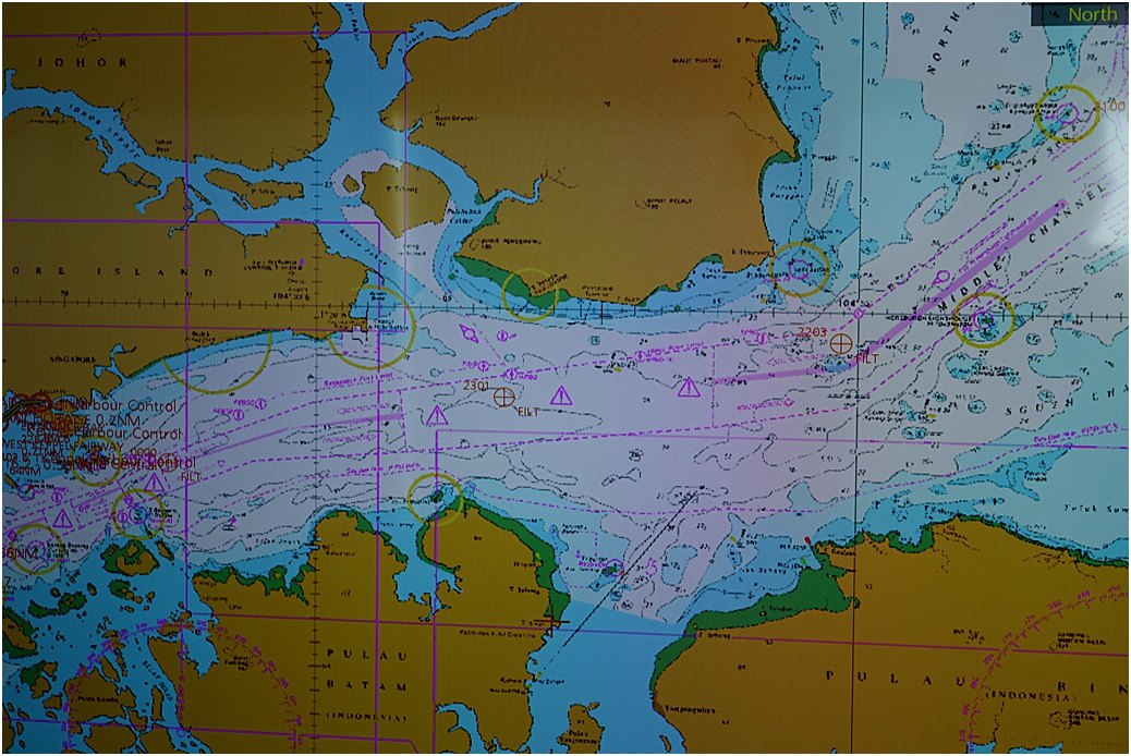
Eastern section of the Straits
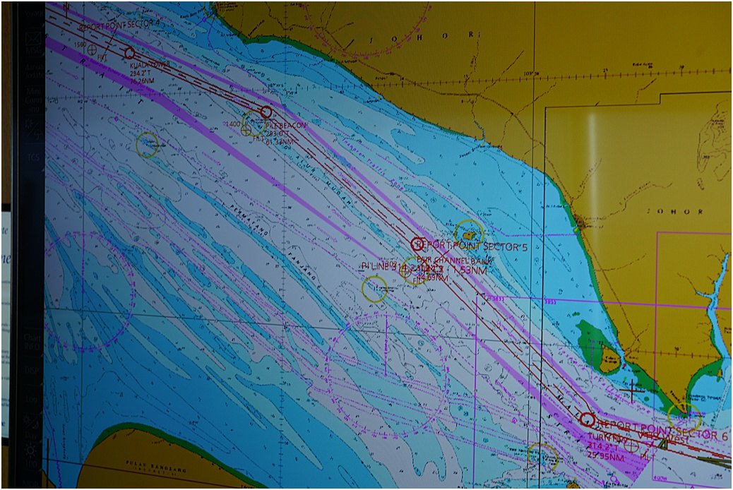
Part of the western section, the blue shading is shallow water

Nearing the berth
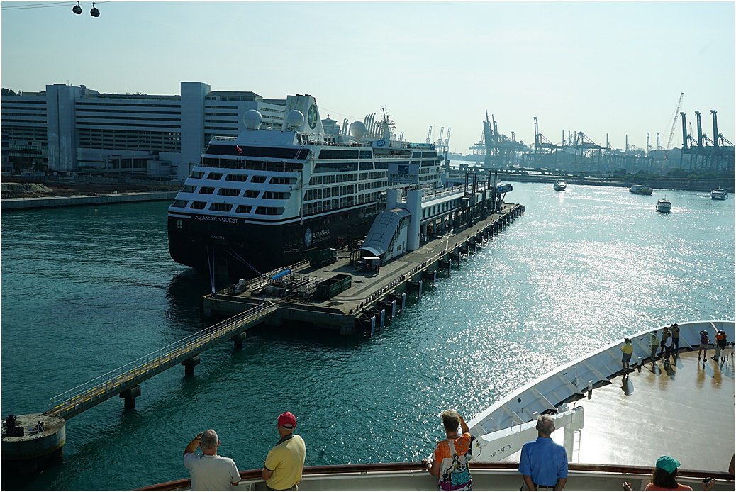
Approaching our berth. The ‘Azamara Quest’ on the other side, preparing to leave for dry-dock.
2 days, 1 night in port and during the evening, a ‘skyline’ event on the aft area of the ship; small appetiser plates and wine.
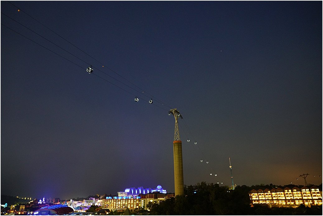
The cable-cars of Sentosa Universal Studios go over our head.
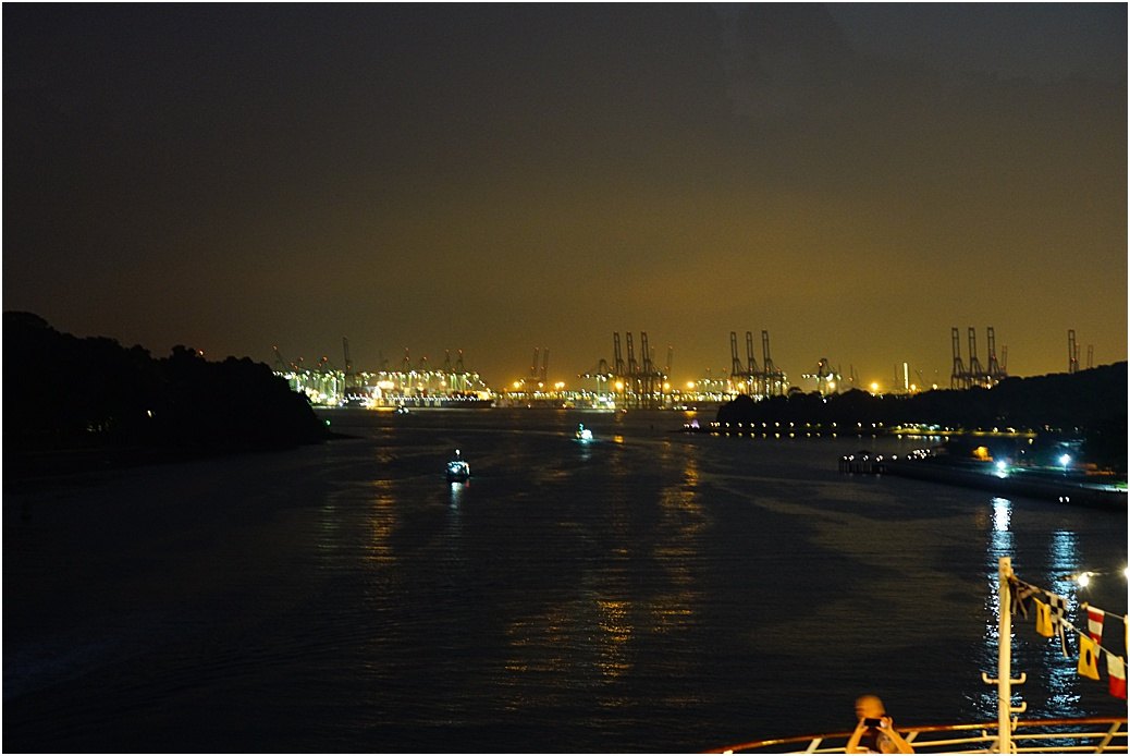
Looking astern, out of the bay, the lights of the Container terminals
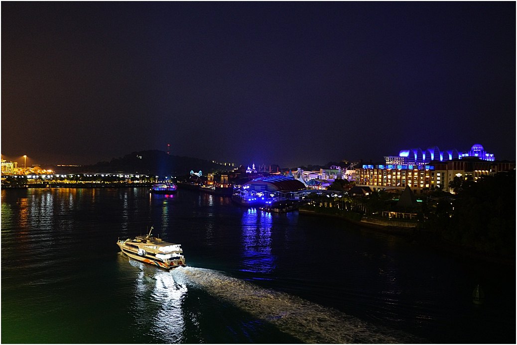
Fast-ferries ply, day and night, to Indonesia. Sentosa to the right.
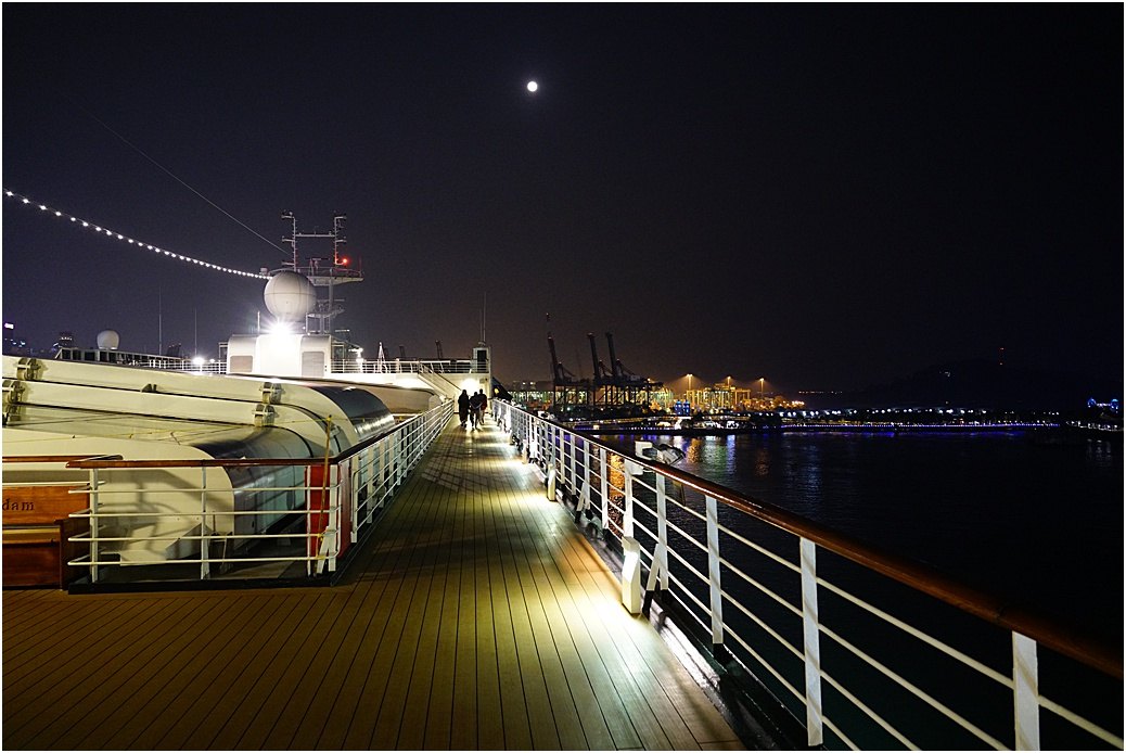
Looking forward, that full moon is still there..
 In the evening of ‘day 2’, we depart for Colombo, out of the bay and past numerous Container ships and berths which stretch for miles……
I write from the Indian Ocean as we head west towards the southern coast of Sri Lanka. We passed south of the Nicobar Islands, through the ‘Great Channel’ during the night, ETA Colombo Wednesday morning.
