Lordy, it was all I anticipated and more, I’ll swear I’ve gone more grey, (is that possible)?
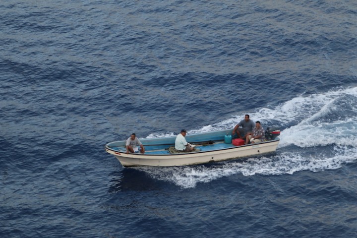
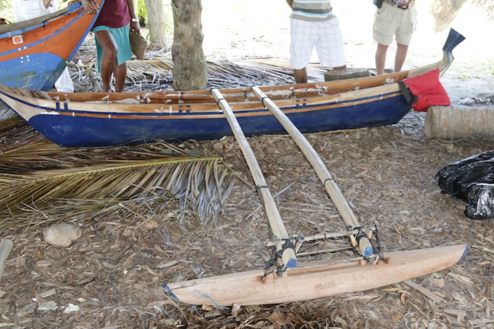
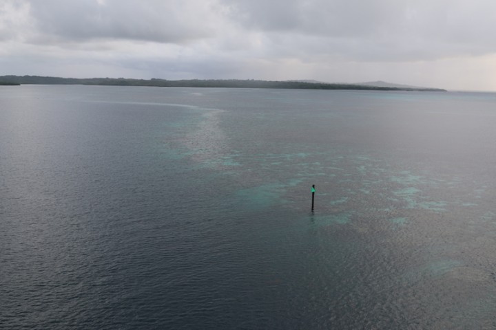
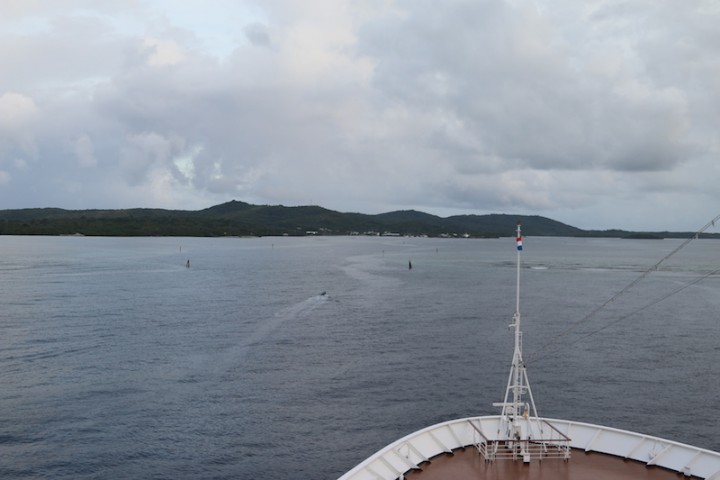
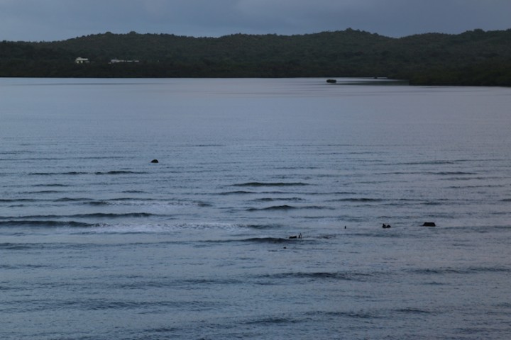
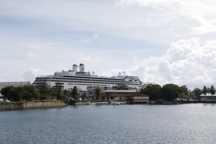
Through the narrow entrance, marked by beacons, however the reef extends to seaward from them, (how convenient, not). We waited until daylight in order to be able to see the reefs and it was just as well. The pilot-boat, (see photo ) 
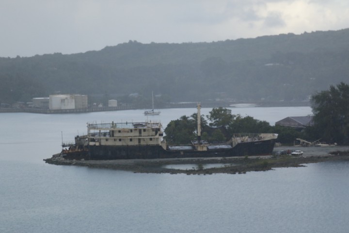
In towards the entrance, an officer on each Bridge-wing, calling out distances, (I’m in the centre and therefore do not have a full view). A Third officer tells me “he can see the wreck”, thank you very much, (there’s the remains of one on the south side of the channel); then a series of ‘S’ curves, all the while one can see the reef to either side. I didn’t even think about how pretty it was, instead concentrating on getting up to the turning area, here I had to stop, swing through 90° and then back in, being careful not to drop downwind too fast, the reef wasn’t going to make it that easy.
There is already an inter-island ferry berthed on the extreme end of the quay, so past that and then, when 5 metres clear, let the bow come down without going astern any further, as the pilot quaintly put it, “there’s a shallow patch there”.
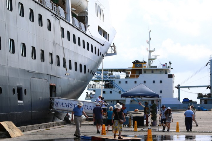
I think you’ve got the picture? An audible sigh of relief once alongside, 15 minutes later than scheduled, but what the heck…..
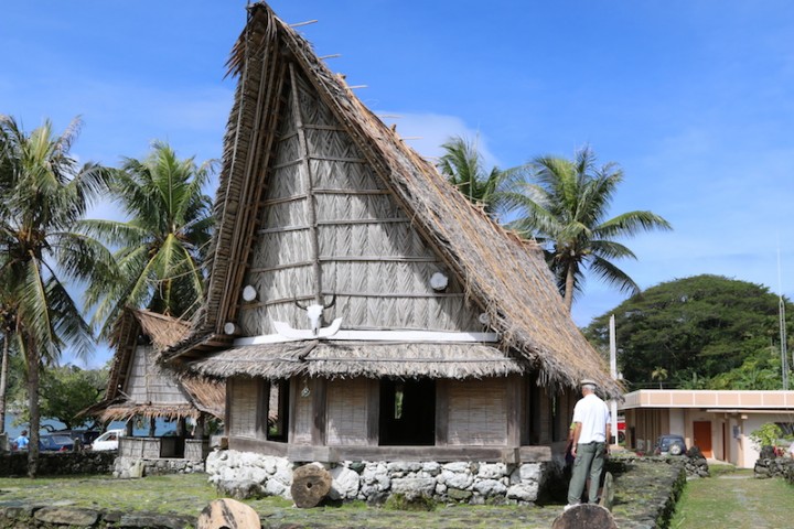
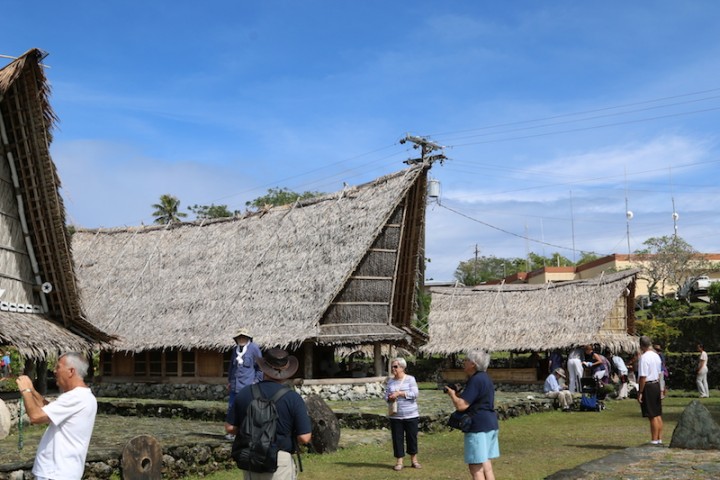
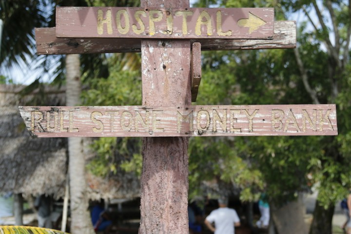
There are several factors which determine the value of stone money. The first is the number of human lives that were lost on the journey to bring the stone home. The second is the kind of workmanship. Some of the more modern stones look highly polished, which has been achieved with the help of modern metal tools but they are less valuable than the ones that look less highly polished. This is because the earlier stones were finished with shell tools, which makes them more valuable. Another factor is whether the stone was dedicated to the chief who sponsored the trip to Palau. Size is also a factor, but in some cases a small stone can be more valuable than a larger stone
Guests go off to wander, tour the island and, as Yap is in the top 5 of dive destinations in the world, snorkel and scuba on those pesky reefs, some went swimming with Manta rays, (pleased someone enjoyed the reefs 
At 3 in the afternoon, rain squalls came through and the wind reached 25 kts, I had visions of having to stay the night, for the reef navigation is ‘daylight only’; the gods were looking down on me though and by sailing time it had eased to a manageable 15 or so. I took her out on our joystick, it is easier than me trying to balance bow and stern and the JS does it for me. The reefs didn’t look any more welcoming than they did on arrival, however Yap is now astern and we are making speed for Manila; across the north Pacific towards the San Bernardino Straits, between Luzon and Samar.
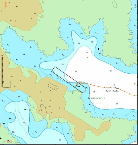
In this Transas chart, one can see the difference between the electronic chart and GPS. The chart, (originally 1987), has errors from the original survey and these are now apparent with the advent of GPS. The chart carries warnings about the discrepancy and as a result, our arrival and departure was carried out using ‘Mark 1 eyeball’ and what is called ‘parallel indexing’ on the radars.
