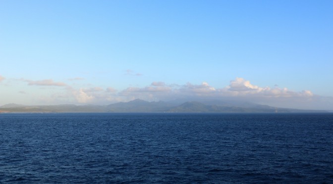
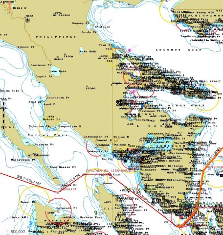
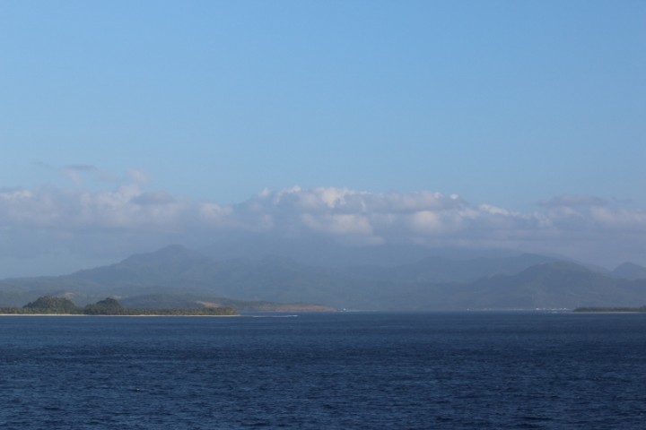
Yesterday, I slowed down so that we started our passage between the numerous Philippine islands in daylight today. As dawn broke, the San Bernardino Straits lay ahead, with the southern end of Luzon to starboard and the island of Samar to port. The wind had eased, the sky was clear of those pesky clouds and the seas were calm, well, I should write ‘almost’. This is because the tidal current through the Straits is so strong that tide ‘rips’ are frequent and some areas of the sea around us were boiling with the effect.
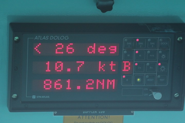
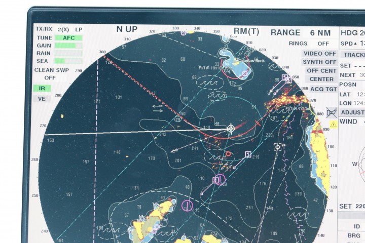
We had almost 6 knots, or around 7 mph of current with us and as a consequence, we were steering some decidedly odd courses to compensate. We were on ‘hand’ steering, it’s easier than using our computers systems with the changing tidal stream. To help you better understand, I post photos; two of our doppler log and another of one of our radar screens.
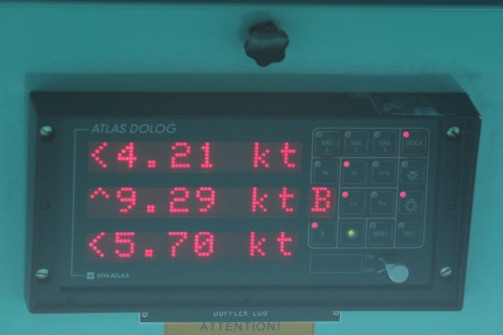 The middle numbers are our speed over the ground; (‘B’ is for bottom lock). The top and bottom numbers are the speed of our bow, (top) and stern, (lower). So, we are doing just over 9 knots forward, but we’re doing 5 knots sideways!
This one is the same doppler log, however I have changed the display. This shows centre as speed over the ground and top, the amount of ‘set’ caused by the current. In other words, we are steering one course, however the current is pushing us 26º to port!
A radar picture better explains. The long white line is where we are steering and the short white line with the arrow is where we’re actually going, 
For the reminder of the day, we are island hopping, making our way north towards the entrance to Manila Bay. Here we pass the island of Corregidor and then we will dock in Manila for a 2-day stay, at 8 a.m.
