Almost there, Easter Island lies 290 miles ahead of us and we will be off Hanga Roa at 7:15 tomorrow morning.
We have been experiencing satellite outages and we rely on it for our communications, internet and phones. The challenge is that there are plenty of geostationary satellites out there, however as no-one lives in the middle of the Pacific, we lose the ‘footprints’, or coverage because they don’t overlap. We have been hanging on to the signal from the satellite which covers South America and very soon we will move under the one that covers Australasia, in the meantime we go through the ‘twilight zone’
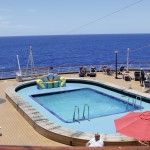
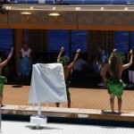
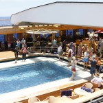
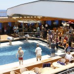
It’s been a lovely sunny day and the Pacific is still relatively calm. There has been a pool-party, hosted by the Cruise director and guests playing fun games with balloons and oranges. Added to the mix was a performance by some Tahitian dancers, who joined us in Callao.
We have a number of guest lecturers on board and one of them has been giving talks on photography; as I am a keen amateur, have attended some of the presentations of interest to me.

I was there with you on 2012 , as your crew were heroic in getting us all off the island as the swells built. Bet you were glad to head on out to Bounty Country this visit.
Do you recall the Copy of the Dutch map I presented to you? It has a marking of a Horn Island(now French) which I believe is SW of Pitcairn.
I’ll be back at the WestFries Museum in Hoorn this spring to try to see is there is evidence of the Dutch having sailed that far around Cape Hoorn.