It is good to be back and writing. As is the norm, remembering what is involved to succeed in putting ‘pen to paper’ had become somewhat ‘misty’ over time, a refresher was called for. Yesterday, during ‘practice’ I was horrified to find that the “plugin” I use to get the map in my post no longer functioned. A great deal of time was spent trying to find an alternative, successful however it takes longer to get it in the post.
Having departed Port Everglades, Florida, on Tuesday, we made our way south, through the Old Bahama Channel, the stretch of water which lies between the reefs of the Bahamas and the north coast of Cuba.
We rounded Cuba’s eastern tip, passing west of Haiti and thus entered the Caribbean. The weather had not been kind to us; sandwiched between 2 weather fronts, we experienced a gale force 8 and rough seas most of the way, so much for azure blue and calm Caribbean.
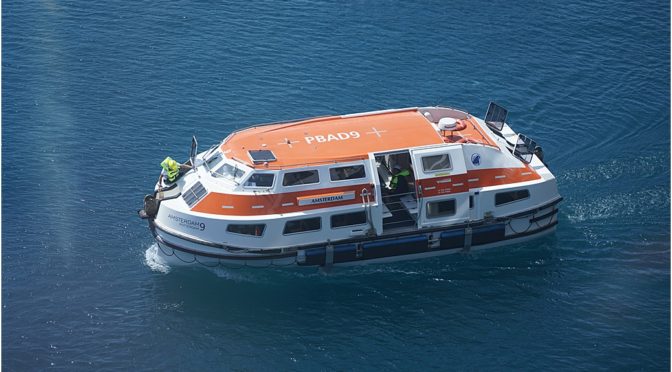
Now we are at peace, in this sheltered harbour on the north coast of Colombia. Our guests are ashore, however we continue to work; the morning being taken up with briefings for our next leg of the voyage, to the San Blas islands and then a drill involving all crew, involving first response emergency teams and then an abandon-ship, lowering boats into the water and taking them for a ‘jaunt’ around the harbour.
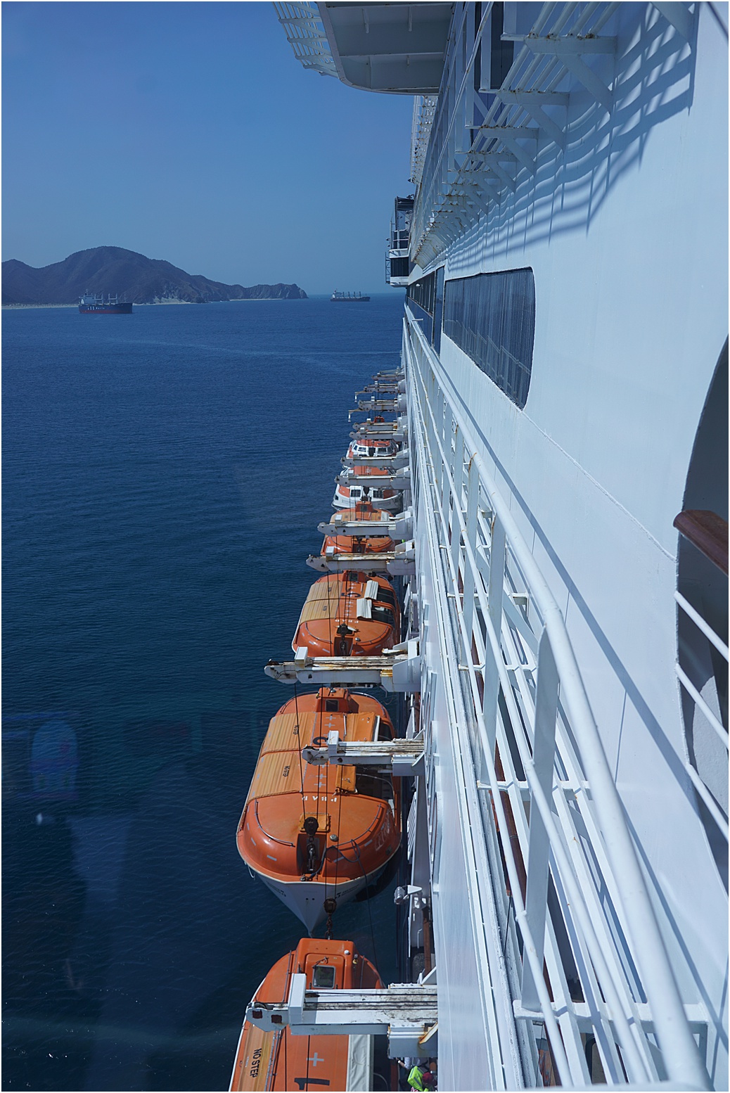
Our boats swung out and ready to lower
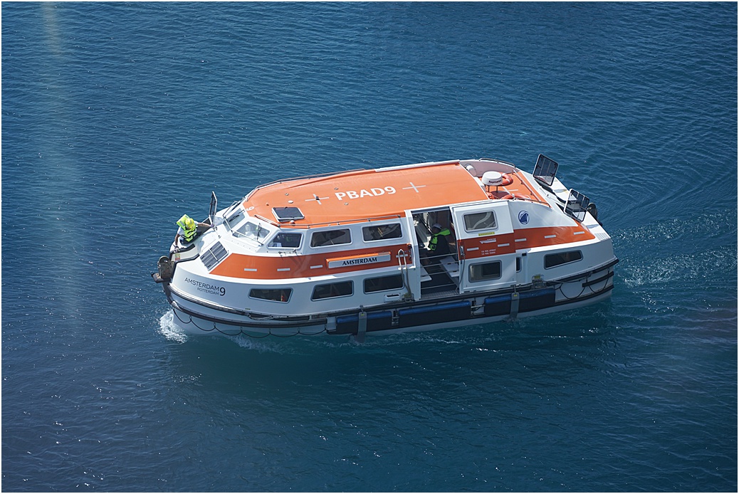
One of new tenders
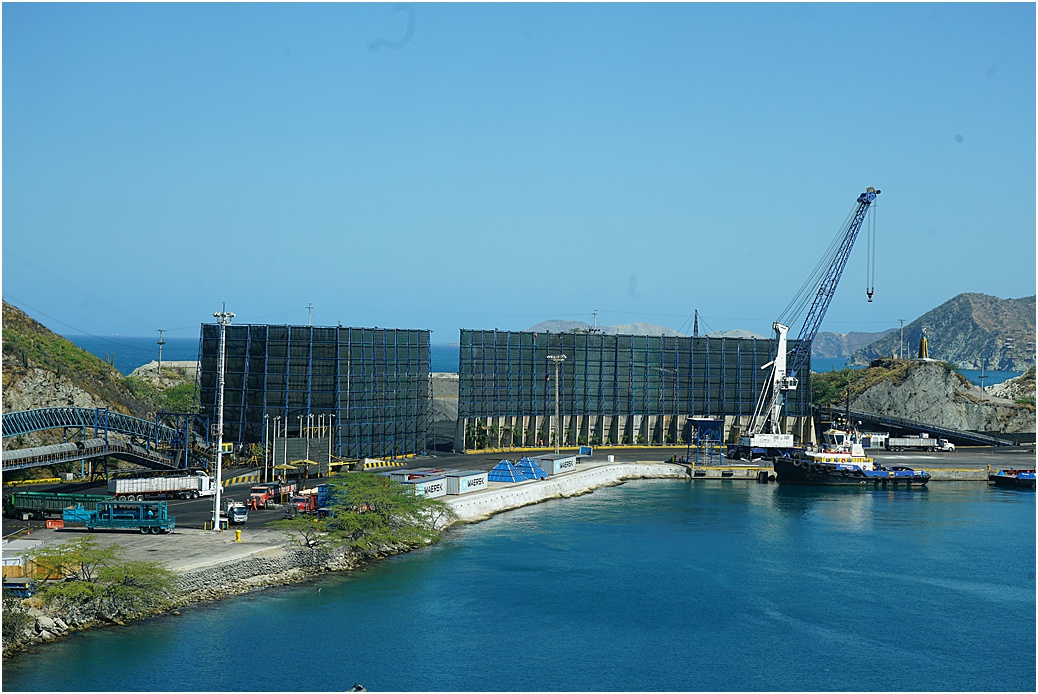
As with many of the ports we visit, there are few with dedicated Cruise terminals and, more often than not, a cargo berth is assigned. No exception today, we are alongside a coal berth, however the authorities have done their best to tidy it up for us.
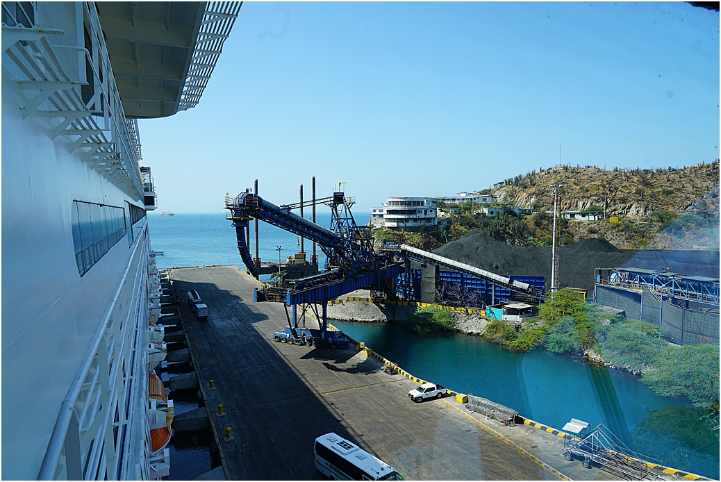
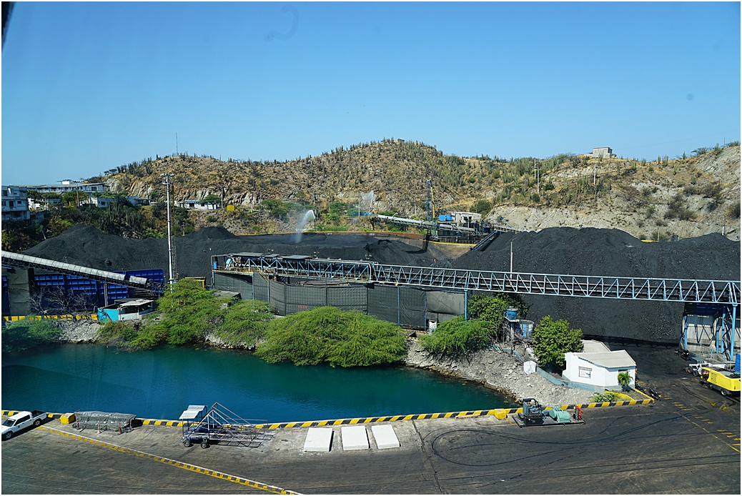
Wind can be a challenge here, as a consequence, an enormous wind-break spans the gap in the higher ground.
We depart here this afternoon and make our way to San Blas tomorrow, followed by our Panama Canal transit. I leave you with some photos of Santa Marta, more later………..
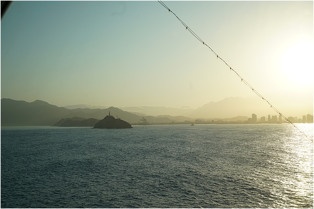
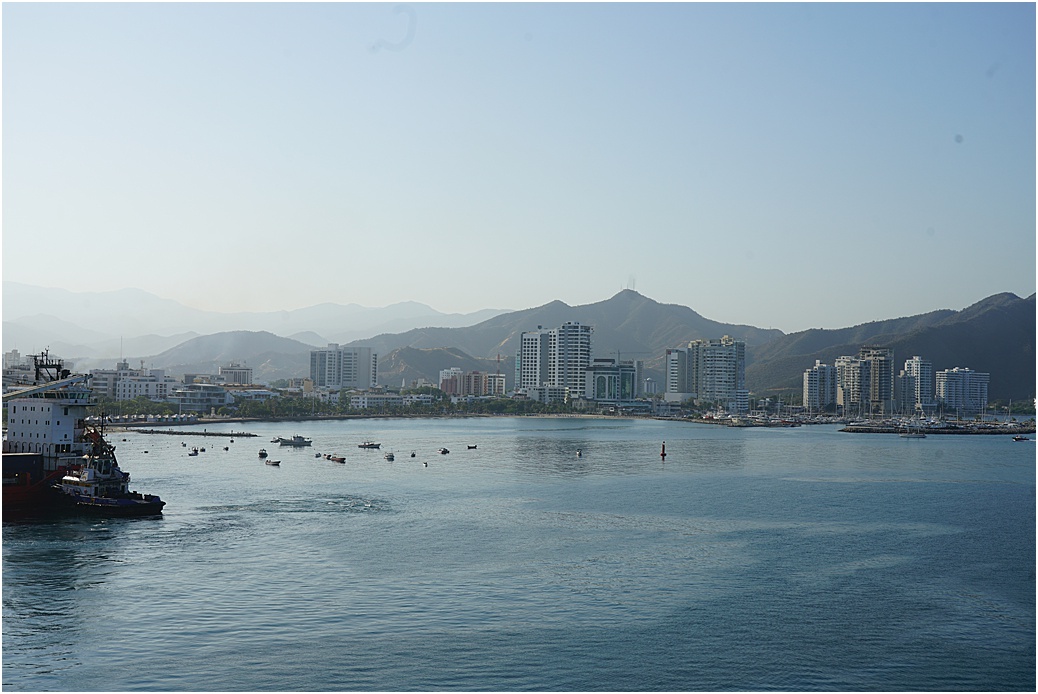
Arriving into the Bay
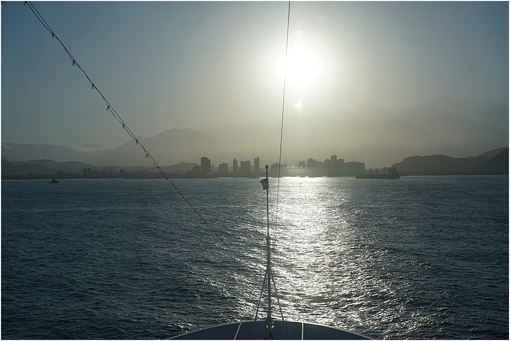
The sun rising, the city through our sun-screens