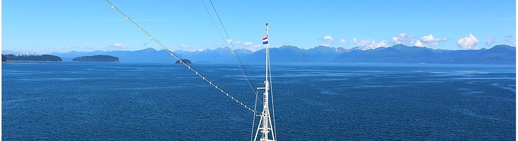
The segment from Tracy Arm to Icy Strait Point, or Hoonah as it is better known, was a gentle ‘pottle’; the distance between the two calls requiring around 8 knots. A lovely evening, with no wind across the decks and the majestic scenery of Alaska on either side of the ship, many of the guests took the opportunity for a stroll around the decks, cameras at the ready.
Friday morning and the sun shining, we made our way to a point 0.2 miles off Hoonah itself, here we stopped, drifting on engines and, using our ‘joystick’ to hold position, we prepared our tenders and platform ready for the day’s service.
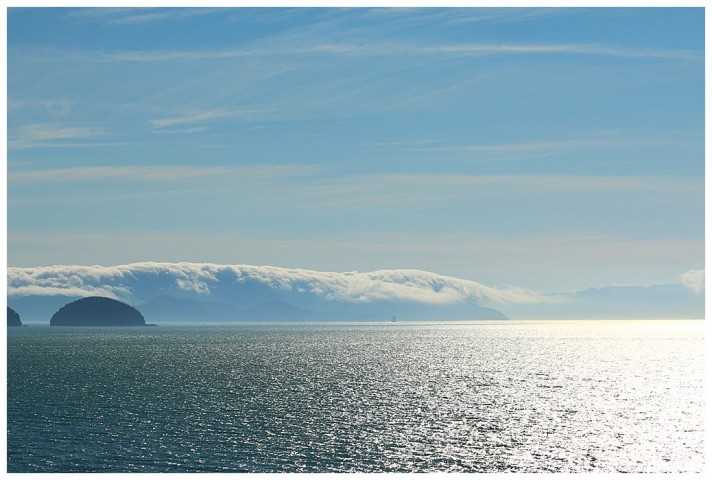
Away to our north, in the Icy Strait itself, one couldn’t help but notice the ‘fluffy’ fog banks ominously forming and, with the wind blowing to the south, the likelihood of us soon being ‘cloaked’, (to use Harry Potter’s phrase 🙂 ) was high. Sure enough, within 15 minutes, Hoonah and the tenders had all but disappeared.
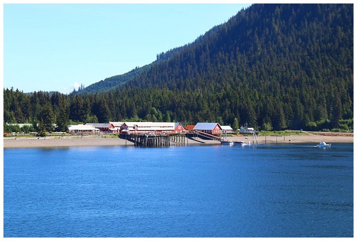
Hoonah, now you see it……
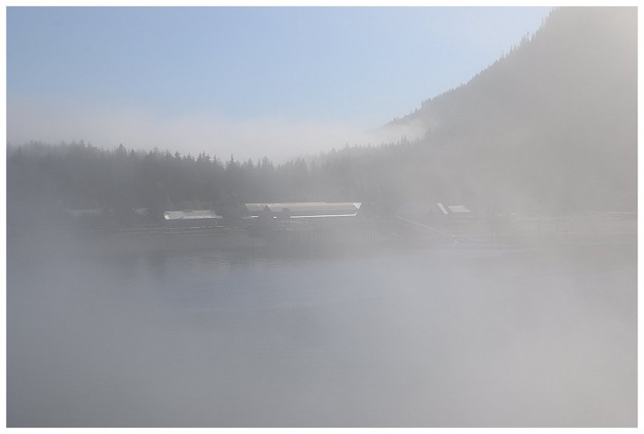
…and now you don’t
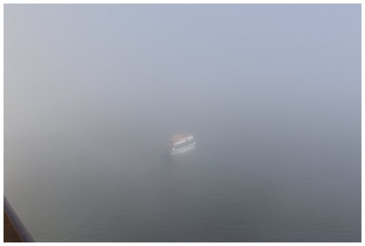
Somewhere out there is a tender….
Normally, the tenders are manned with our sailors as crew and a Quartemaster as coxwain, however, due to the visibility, a deck officer was added to the complement, they are familiar with radar and assisted the QM.
Later in the morning the fog cleared, at least, between us and the landing pier, so matters improved. From the Bridge, one could see the Zip-Line, a ‘ride from the top of the mountain adjacent to Hoonah, across the buildings and down to the shore. Guests are ‘bussed’ up, a journey which takes about 20 minutes and then ‘zip’ down, a ride of 90 seconds 🙄
Eventually it is time to depart, out into Icy Strait and thence west, past the entrance to Glacier Bay, through Inian Pass and into Cross Sound, past Cape Spencer and into the Gulf of Alaska. We pass numerous Humpback whales and a pod of Orca as we make our way west.
Ahead of us, towards the Gulf, one often experiences strange cloud formations, caused by several factors; wind, tidal currents and temperatures, these were ‘rolling’ over the outlying land, however they remained where they were.
We follow the Statendam, she had left Glacier Bay and was making for the pilot disembarkation point, (as we were), before crossing the Gulf too.
As we pass into Cross sound, a Cable-ship is operating. A few weeks ago, a localised earthquake had broken the cables carrying internet and telephone traffic; she was there to retrieve and repair.
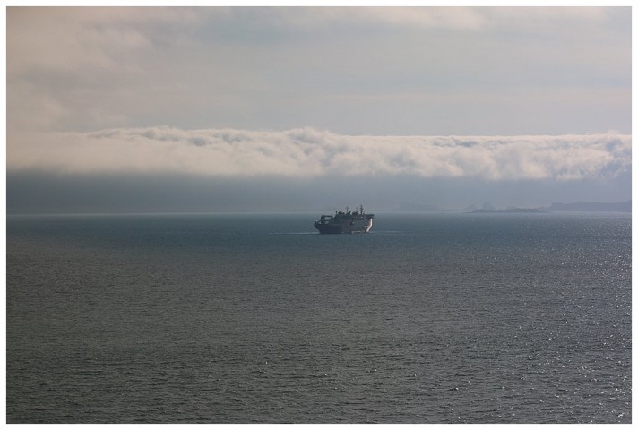
The Cable ship
Now I write this from Anchorage, a reasonable crossing of the Gulf and then a transit of Cook Inlet, with the Kenai peninsular to starboard. A brief diversion to near Homer, this to embark our compulsory pilots and thence an overnight run to Anchorage.
Current and tides have to be dealt with here. We ris and fall 30′ or 10m during our stay; constantly having to change decks for the gangway and a very watchful eye on the moorings. Current? You don’t want to know; flood and ebb running up to 6-7 knots, I was fortunate today, the tide just about to change on arrival, hence moderate, however when we depart, I have a current of 5-6 knots to contend with 😉
